|
search place name
|
||
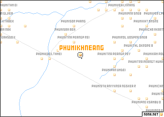
Phumĭ Khnéang (Kâmpóng Chhnăng, Cambodia)Phumĭ Khnéang is a town in the Kâmpóng Chhnăng region of Cambodia. An overview map of the region around Phumĭ Khnéang is displayed below.
regional and 3d topo map of Phumĭ Khnéang, Cambodia ::
Phumĭ Khnéang airports ::
The nearest airport is PNH - Phnom-penh Phnom Penh Intl, located 93.1 km south east of Phumĭ Khnéang.
Other airports nearby include REP - Siem-reap Siem Reap (142.7 km north west), Nearby towns ::
Phumĭ Trâpeăng Prei (4.1km north west) //
Phumĭ Ânhchanh (5.7km west) //
Phumĭ Samâ Êm (6.6km north west) //
Phumĭ Trâpeăng Prey (7.2km east) //
Phumĭ Kdŏl Thmei (7.2km west) //
Phumĭ Châmbák Prasat (7.5km east) //
Phumĭ Sor Ph'âng (7.6km north) //
Phumĭ Phnum Dei (8.1km south east) //
Phumĭ Chôr (8.1km north east) //
Phumĭ Sthanĭy Kreăng Skéar (10.4km south east) //
[all distances 'as the bird flies' and approximate] 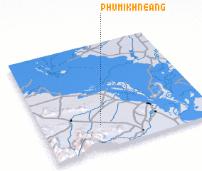 Places with similar names to Phumĭ Khnéang, Cambodia ::
// Phumĭ Khnăng (KH)
// Phumĭ Khnông (KH)
// Phumĭ Knŏng (KH)
// Phumĭ Knŏng (KH)
// Phumĭ Knŏng (KH)
// Phumĭ Knŏng (KH)
// Phumĭ Knŏng (KH)
Disclaimer :: Information on this page comes without warranty of any kind |
||
|
Where is Phumĭ Khnéang? Elevation and coordinates ::
Latitude (lat): 12°14'0"N Longitude (lon): 104°21'0"E
Elevation (approx.): 72m (map arrows pan, magnifying glasses zoom) |
||
|
Visiting Phumĭ Khnéang? Hotel/Accommodation ::
Book a hotel in Phumĭ Khnéang Travel Guide ::
Buy a travel guide for Cambodia rental cars ::
car rental offers GPS waypoint ::
download a GPX waypoint (PoI) of Phumĭ Khnéang for your GPS receiver
|
||