|
search place name
|
||
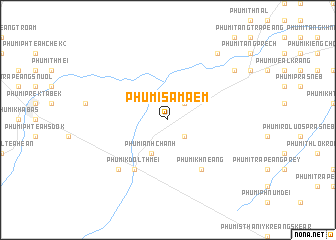
Phumĭ Samâ Êm (Kâmpóng Chhnăng, Cambodia)Phumĭ Samâ Êm is a town in the Kâmpóng Chhnăng region of Cambodia. An overview map of the region around Phumĭ Samâ Êm is displayed below.
regional and 3d topo map of Phumĭ Samâ Êm, Cambodia ::
Phumĭ Samâ Êm airports ::
The nearest airport is PNH - Phnom-penh Phnom Penh Intl, located 99.7 km south east of Phumĭ Samâ Êm.
Other airports nearby include REP - Siem-reap Siem Reap (136.2 km north west), Nearby towns ::
Phumĭ Trâpeăng Prei (2.6km south east) //
Phumĭ Sor Ph'âng (2.6km north east) //
Phumĭ Ânhchanh (4.1km south west) //
Phumĭ Khnéang (6.6km south east) //
Phumĭ Kdŏl Thmei (6.6km south west) //
Phumĭ Kdŏl (7.8km south west) //
Phumĭ Kreăng Slêng (9.1km north east) //
Phumĭ Ta Chés (9.2km north east) //
[all distances 'as the bird flies' and approximate] 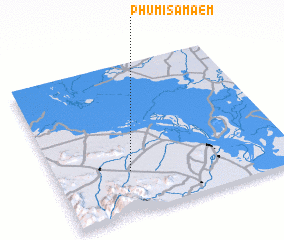 Places with similar names to Phumĭ Samâ Êm, Cambodia :: Disclaimer :: Information on this page comes without warranty of any kind |
||
|
Where is Phumĭ Samâ Êm? Elevation and coordinates ::
Latitude (lat): 12°17'0"N Longitude (lon): 104°19'0"E
Elevation (approx.): 54m (map arrows pan, magnifying glasses zoom) |
||
|
Visiting Phumĭ Samâ Êm? Hotel/Accommodation ::
Book a hotel in Phumĭ Samâ Êm Travel Guide ::
Buy a travel guide for Cambodia rental cars ::
car rental offers GPS waypoint ::
download a GPX waypoint (PoI) of Phumĭ Samâ Êm for your GPS receiver
|
||