|
search place name
|
||
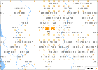
Bānira (Barisāl, Bangladesh)Bānira is a town in the Barisāl region of Bangladesh. An overview map of the region around Bānira is displayed below.
regional and 3d topo map of Bānira, Bangladesh ::
Bānira airports ::
The nearest airport is DAC - Dhaka Zia Intl, located 66.7 km south east of Bānira.
Other airports nearby include IRD - Ishurdi (100.3 km west), IXA - Agartala (133.9 km east), RJH - Rajshahi Shah Mokhdum (142.5 km west), JSR - Jessore (154.3 km south west), Nearby towns ::
Dattagrām (0.0km north) //
Singāir (1.7km east) //
Bharbāri (1.7km east) //
Kāmanna (1.9km south) //
Chārān (1.9km north) //
Bādda (1.9km north) //
Sābhār (1.7km west) //
Poshna (1.7km west) //
Kokdahara (1.9km north) //
Konābāri (1.7km west) //
Kadim Kharsila (2.5km south east) //
Balla (2.5km south east) //
Baladkura (2.5km south east) //
Baratiābāri (2.5km south east) //
Kāgmāri Chhātihāti (2.5km north east) //
Tenguria (2.5km north east) //
Hāsara (2.5km south west) //
Sarāgi (2.5km south west) //
Phulbāri (2.5km north west) //
Jainābāri (2.5km north west) //
Kuturia (2.5km north west) //
Uthrāil Ālam (2.5km north west) //
Baldhi (2.5km north west) //
Somjāni Idilpur (3.4km east) //
Khilgāti (3.4km east) //
Ghonabāri (3.4km east) //
Kāzibāri (3.7km south) //
Simultia (3.7km north) //
Kāmārthi (3.7km north) //
[all distances 'as the bird flies' and approximate] 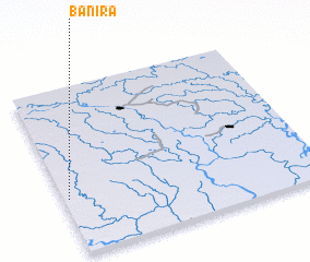 Places with similar names to Bānira, Bangladesh ::
Disclaimer :: Information on this page comes without warranty of any kind |
||
|
Where is Bānira? Elevation and coordinates ::
Latitude (lat): 24°20'0"N Longitude (lon): 90°1'0"E
Elevation (approx.): 10m (map arrows pan, magnifying glasses zoom) |
||
|
Visiting Bānira? Hotel/Accommodation ::
Book a hotel in Bānira Travel Guide ::
Buy a travel guide for Bangladesh rental cars ::
car rental offers GPS waypoint ::
download a GPX waypoint (PoI) of Bānira for your GPS receiver
|
||