|
search place name
|
||
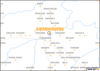
Diémoukourou (Burkina Faso)Diémoukourou is a town in Burkina Faso. An overview map of the region around Diémoukourou is displayed below.
regional and 3d topo map of Diémoukourou, Burkina Faso ::
Diémoukourou airports ::
The nearest airport is BOY - Bobo-dioulasso Bobo Dioulasso, located 127.6 km west of Diémoukourou.
Other airports nearby include OUA - Ouagadougou (257.0 km north east), Nearby towns ::
Tangbanano (1.9km south) //
Tinbissinano (2.6km south west) //
Kourgano (3.6km east) //
Tiankoura (3.6km west) //
Oulélo (3.7km south) //
Baliniar (4.1km north east) //
Yébélala (4.1km south east) //
Bonbara (4.1km north west) //
Dankoblé (5.6km north) //
Bombara (5.8km west) //
Wangara (5.9km south) //
Kinpéo (6.6km south east) //
Tansié (6.6km north west) //
Sorkon (7.4km north) //
Dangouara (7.3km west) //
Diébourou (7.4km south) //
Sinkiéro (7.5km east) //
Navielgan (8.3km north west) //
Tiakora (8.3km south east) //
Diourao (10.4km south east) //
[all distances 'as the bird flies' and approximate] 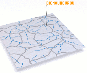 Places with similar names to Diémoukourou, Burkina Faso ::
// Tomaicuri (BO)
// Tumagari (RU)
// Demakar (IQ)
// Timmukuru (EE)
// Dāmgāra (BD)
// Dāmgāra (BD)
// Dāmgāria (BD)
// Demākuri (BD)
// Tammboukirou (BJ)
// Doumoukora (BF)
Disclaimer :: Information on this page comes without warranty of any kind |
||
|
Where is Diémoukourou? Elevation and coordinates ::
Latitude (lat): 10°46'0"N Longitude (lon): 3°14'0"W
Elevation (approx.): 257m (map arrows pan, magnifying glasses zoom) |
||
|
Visiting Diémoukourou? Hotel/Accommodation ::
Book a hotel in Diémoukourou Travel Guide ::
rental cars ::
car rental offers GPS waypoint ::
download a GPX waypoint (PoI) of Diémoukourou for your GPS receiver
|
||