|
search place name
|
||
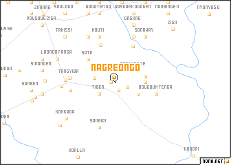
Nagréongo (Oubritenga, Burkina Faso)Nagréongo is a town in the Oubritenga region of Burkina Faso. An overview map of the region around Nagréongo is displayed below.
regional and 3d topo map of Nagréongo, Burkina Faso ::
Nagréongo airports ::
The nearest airport is OUA - Ouagadougou, located 37.5 km south west of Nagréongo.
Nearby towns ::
Poédogo (0.7km west) //
Linoguen (1.4km south) //
Sorgo (2.1km east) //
Tiben (3.1km south west) //
Nahartenga (3.4km west) //
Pégdwendé (3.5km north east) //
Kolokom (4.1km south east) //
Boutenga (4.7km east) //
Tanguen (4.8km east) //
Saté (5.7km north west) //
Togom Bangré (6.5km north east) //
Laongo Lango (6.5km north) //
Bougoumtenga (6.8km east) //
Tang Yiba (7.2km west) //
Tengsobdogo (7.3km west) //
Sambiri (7.8km south) //
Mouti (7.9km north) //
Signogen (8.0km north) //
Boudtenga (7.9km west) //
Maté (8.6km north west) //
Bagayiri (8.5km west) //
Sonaway (8.8km north east) //
Komkaga (9.7km south west) //
Tamissi (10.9km north west) //
Séaba (10.9km north west) //
[all distances 'as the bird flies' and approximate] 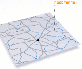 Places with similar names to Nagréongo, Burkina Faso ::
Disclaimer :: Information on this page comes without warranty of any kind |
||
|
Where is Nagréongo? Elevation and coordinates ::
Latitude (lat): 12°28'58"N Longitude (lon): 1°11'36"W
Elevation (approx.): 286m (map arrows pan, magnifying glasses zoom) |
||
|
Visiting Nagréongo? Hotel/Accommodation ::
Book a hotel in Nagréongo Travel Guide ::
rental cars ::
car rental offers GPS waypoint ::
download a GPX waypoint (PoI) of Nagréongo for your GPS receiver
|
||