|
search place name
|
||
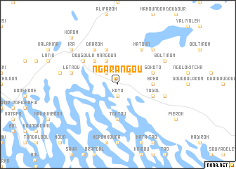
Ngarangou (Lac, Chad)Ngarangou is a town in the Lac region of Chad. An overview map of the region around Ngarangou is displayed below.
regional and 3d topo map of Ngarangou, Chad ::
Ngarangou airports ::
The nearest airport is NDJ - N'djamena Ndjamena Hassan Djamous, located 160.0 km south of Ngarangou.
Other airports nearby include MIU - Maiduguri (268.4 km south west), Nearby towns ::
Kaya (1.9km south) //
Ngarangou Koura (2.6km north west) //
Touty (2.6km north east) //
Margoun (4.1km north west) //
Dole (5.2km north west) //
Toutou (5.6km south) //
Bréa (5.4km east) //
Dra (5.8km north) //
Sokoto (5.7km east) //
Tagal (5.7km east) //
Drarom (6.6km north west) //
Dougoula (6.6km north west) //
Matoun (6.6km north east) //
Letrou (7.4km west) //
Bréa (7.4km east) //
Makoum (7.8km north east) //
Boltirom (8.1km north east) //
Ira (9.1km north west) //
Korom (10.3km north west) //
[all distances 'as the bird flies' and approximate] 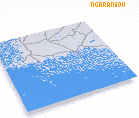 Places with similar names to Ngarangou, Chad ::
Disclaimer :: Information on this page comes without warranty of any kind |
||
|
Where is Ngarangou? Elevation and coordinates ::
Latitude (lat): 13°34'0"N Longitude (lon): 14°50'0"E
Elevation (approx.): 291m (map arrows pan, magnifying glasses zoom) |
||
|
Visiting Ngarangou? Hotel/Accommodation ::
Book a hotel in Ngarangou Travel Guide ::
Buy a travel guide for Chad rental cars ::
car rental offers GPS waypoint ::
download a GPX waypoint (PoI) of Ngarangou for your GPS receiver
|
||