|
search place name
|
||
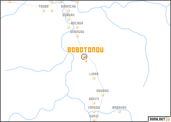
Bobotonou (Central African Republic)Bobotonou is a town in Central African Republic. An overview map of the region around Bobotonou is displayed below.
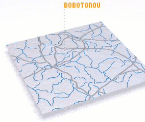
regional and 3d topo map of Bobotonou, Central African Republic ::
Bobotonou airports ::
The nearest airport is BGF - Bangui M Poko, located 220.5 km south of Bobotonou.
Nearby towns ::
 Places with similar names to Bobotonou, Central African Republic ::
// Babatuan (PH)
// Baybaytin (PH)
// Bobuatan (PH)
// Babadion (CM)
// Bobtown (US)
// Bobtown (US)
// Beebeetown (US)
// Boboteni (RO)
// Bābā Dīneh (IR)
// Bāb Bīdān (IR)
Disclaimer :: Information on this page comes without warranty of any kind |
||
|
Where is Bobotonou? Elevation and coordinates ::
Latitude (lat): 6°23'0"N Longitude (lon): 18°20'0"E
Elevation (approx.): 493m (map arrows pan, magnifying glasses zoom) |
||
|
Visiting Bobotonou? Hotel/Accommodation ::
Book a hotel in Bobotonou Travel Guide ::
rental cars ::
car rental offers GPS waypoint ::
download a GPX waypoint (PoI) of Bobotonou for your GPS receiver
|
||