|
search place name
|
||
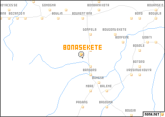
Bonasé Kété (Central African Republic)Bonasé Kété is a town in Central African Republic. An overview map of the region around Bonasé Kété is displayed below.
regional and 3d topo map of Bonasé Kété, Central African Republic ::
Bonasé Kété airports ::
The nearest airport is MQQ - Moundou, located 213.1 km north west of Bonasé Kété.
Nearby towns ::
Boukonté (2.6km south east) //
Bonasé Kota (2.6km north east) //
Bangoro (4.1km south east) //
Donfèla (5.9km north) //
Bomèsé (6.7km south east) //
Mbaé (7.6km south) //
Bougonde-Kété (9.2km north east) //
Balémé (9.2km south east) //
[all distances 'as the bird flies' and approximate] 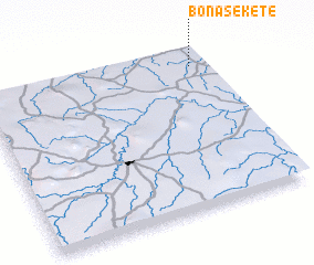 Places with similar names to Bonasé Kété, Central African Republic ::
// Binscheid (DE)
// Ban Sakat (TH)
// Ban Sakat (TH)
// Ban Sakat Tai (TH)
// Ban Sakat Tai (TH)
// Ban Sa Ket (TH)
// Ban Sa Ket (TH)
// Ban Sa Kut (TH)
// Ban Sa Kut (TH)
// Ban Sakut (TH)
Disclaimer :: Information on this page comes without warranty of any kind |
||
|
Where is Bonasé Kété? Elevation and coordinates ::
Latitude (lat): 6°54'0"N Longitude (lon): 16°56'0"E
Elevation (approx.): 554m (map arrows pan, magnifying glasses zoom) |
||
|
Visiting Bonasé Kété? Hotel/Accommodation ::
Book a hotel in Bonasé Kété Travel Guide ::
rental cars ::
car rental offers GPS waypoint ::
download a GPX waypoint (PoI) of Bonasé Kété for your GPS receiver
|
||