|
search place name
|
||
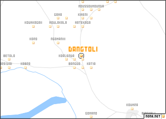
Dangtoli (Moyen-Chari, Chad)Dangtoli is a town in the Moyen-Chari region of Chad. An overview map of the region around Dangtoli is displayed below.
regional and 3d topo map of Dangtoli, Chad ::
Dangtoli airports ::
The nearest airport is MQQ - Moundou, located 157.7 km west of Dangtoli.
Nearby towns ::
Moussakaga (0.0km north) //
Koli (1.9km north) //
Tangara (1.8km west) //
Gaboulo (1.9km south) //
Bangdo (2.6km south west) //
Katia (2.6km south east) //
Koalenda (3.7km west) //
Ngomani II (6.6km north west) //
Matékaga (7.4km north) //
Bétana (7.6km north) //
Moulakala (9.2km north west) //
Kadouiti (10.4km north west) //
[all distances 'as the bird flies' and approximate] 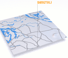 Places with similar names to Dangtoli, Chad ::
// Tengdal (NO)
// Tin Agadèl (BF)
// Tongdul-li (KP)
// Tangdŭl (KR)
// Tongdal (KR)
// Tongdal (KR)
// Tongdal-li (KR)
// Doungadala (ML)
// Tongdal-li (KP)
// Döng-Talaa (KG)
Disclaimer :: Information on this page comes without warranty of any kind |
||
|
Where is Dangtoli? Elevation and coordinates ::
Latitude (lat): 9°1'0"N Longitude (lon): 17°27'0"E
Elevation (approx.): 414m (map arrows pan, magnifying glasses zoom) |
||
|
Visiting Dangtoli? Hotel/Accommodation ::
Book a hotel in Dangtoli Travel Guide ::
Buy a travel guide for Chad rental cars ::
car rental offers GPS waypoint ::
download a GPX waypoint (PoI) of Dangtoli for your GPS receiver
|
||