|
search place name
|
||
Kormododo (Ouaddaï, Chad)Kormododo is a town in the Ouaddaï region of Chad. An overview map of the region around Kormododo is displayed below.
regional and 3d topo map of Kormododo, Chad ::

Kormododo airports ::
The nearest airport is AEH - Abeche, located 151.6 km north west of Kormododo.
Nearby towns ::
Andadja Doyou (1.8km west) //
Andadja Sisi (2.6km north east) //
Goungour (3.7km north) //
Goundang (4.1km north west) //
Bakaki (5.6km north) //
Kado (5.8km north) //
Magatéta (5.7km east) //
Kodélé (6.6km north west) //
Bakou (6.6km north east) //
Nourkani (7.2km west) //
Tondong Kado (7.4km north) //
Mogouchaché (8.1km south west) //
Gérésang (9.2km north west) //
[all distances 'as the bird flies' and approximate] 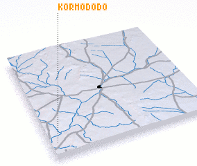 Places with similar names to Kormododo, Chad ::
// Gramadata (BG)
// Gurumaditta (LK)
// Keur Madoudia (SN)
// Karāmdād (PK)
// Karīmdād (PK)
// Karīmdād (PK)
// Karimdād (PK)
Disclaimer :: Information on this page comes without warranty of any kind |
||
|
Where is Kormododo? Elevation and coordinates ::
Latitude (lat): 13°9'0"N Longitude (lon): 22°3'0"E
Elevation (approx.): 729m (map arrows pan, magnifying glasses zoom) |
||
|
Visiting Kormododo? Hotel/Accommodation ::
Book a hotel in Kormododo Travel Guide ::
Buy a travel guide for Chad rental cars ::
car rental offers GPS waypoint ::
download a GPX waypoint (PoI) of Kormododo for your GPS receiver
|
||