|
search place name
|
||
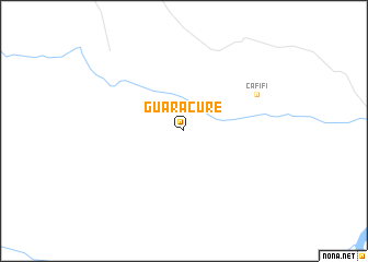
Guaracure (Departamento de Casanare, Colombia)Guaracure is a town in the Departamento de Casanare region of Colombia. An overview map of the region around Guaracure is displayed below.
regional and 3d topo map of Guaracure, Colombia ::
Guaracure airports ::
The nearest airport is TME - Tame, located 156.4 km north west of Guaracure.
Other airports nearby include AUC - Arauca Santiago Perez (213.1 km north), Nearby towns ::
Cafifi (8.3km north east) //
[all distances 'as the bird flies' and approximate] 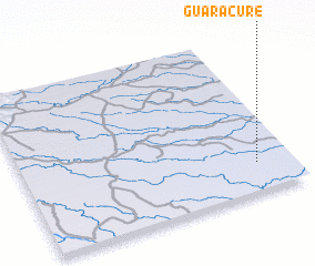 Places with similar names to Guaracure, Colombia ::
// Gourreguir (MA)
// Krakra (MA)
// Krakra (MA)
// Krakra (MA)
// Kriker (MA)
// Qarqar (AZ)
// Carcar (PH)
// Caraycaray (PH)
// Carigara (PH)
// Corcuera (PH)
Disclaimer :: Information on this page comes without warranty of any kind |
||
|
Where is Guaracure? Elevation and coordinates ::
Latitude (lat): 5°11'0"N Longitude (lon): 71°8'0"W
Elevation (approx.): 127m (map arrows pan, magnifying glasses zoom) |
||
|
Visiting Guaracure? Hotel/Accommodation ::
Book a hotel in Guaracure Travel Guide ::
Buy a travel guide for Colombia rental cars ::
car rental offers GPS waypoint ::
download a GPX waypoint (PoI) of Guaracure for your GPS receiver
|
||