|
search place name
|
||
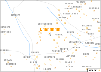
La Samaría (Huila, Colombia)La Samaría is a town in the Huila region of Colombia. An overview map of the region around La Samaría is displayed below.
regional and 3d topo map of La Samaría, Colombia ::
La Samaría airports ::
The nearest airport is NVA - Neiva Benito Salas, located 63.4 km north east of La Samaría.
Other airports nearby include PPN - Popayan Guillermo Leon Valencia (94.6 km west), CLO - Cali Alfonso Bonilla Aragon Intl (118.6 km north west), FLA - Florencia Gustavo Artunduaga Paredes (120.4 km south), SVI - San Vincente De Caguan Eduardo Falla Solano (126.0 km south east), Nearby towns ::
La Florida (2.0km south east) //
Yarumal (3.1km east) //
Patio Bonito (3.6km south east) //
Delícias (3.8km west) //
Las Auroras (3.8km west) //
San Antonio (4.1km west) //
Santa Bárbara (4.1km north west) //
San Vicente (4.4km west) //
El Líbano (4.6km west) //
La Palma (4.7km south east) //
Tres Esquinas (4.8km south east) //
El Diamante (5.4km east) //
El Mirador (5.4km north east) //
Pacarní (5.5km east) //
Pepinal (5.6km south west) //
El Abanico (5.9km east) //
El Ciprés (6.3km north) //
San Isidro (7.0km south) //
Los Andes (7.3km north east) //
Los Andes (7.3km north east) //
Mirador (7.4km east) //
Corinto (7.6km south east) //
Las Dalias (8.5km north) //
La Hondura (8.8km south) //
La Cabaña (9.2km south west) //
El Carmen (9.2km north east) //
La Agencia (9.4km south west) //
Araujo (10.3km south west) //
Vereda Carmen (10.5km north east) //
[all distances 'as the bird flies' and approximate] 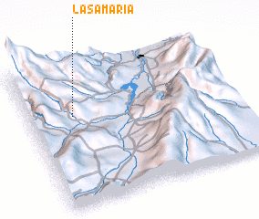 Places with similar names to La Samaría, Colombia ::
// Luisa María (CU)
// Luz María (CU)
// Leşmir (RO)
// La Somera (ES)
// Lismore (NZ)
// Lysomarra (RU)
// Lismore (US)
// Lismore (US)
// La Samaria (CO)
// La Samaria (CO)
Disclaimer :: Information on this page comes without warranty of any kind |
||
|
Where is La Samaría? Elevation and coordinates ::
Latitude (lat): 2°39'19"N Longitude (lon): 75°46'58"W
Elevation (approx.): 1531m (map arrows pan, magnifying glasses zoom) |
||
|
Visiting La Samaría? Hotel/Accommodation ::
Book a hotel in La Samaría Travel Guide ::
Buy a travel guide for Colombia rental cars ::
car rental offers GPS waypoint ::
download a GPX waypoint (PoI) of La Samaría for your GPS receiver
|
||