|
search place name
|
||
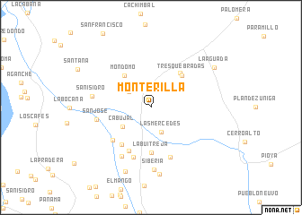
Monterilla (Cauca, Colombia)Monterilla is a town in the Cauca region of Colombia. An overview map of the region around Monterilla is displayed below.
regional and 3d topo map of Monterilla, Colombia ::
Monterilla airports ::
The nearest airport is PPN - Popayan Guillermo Leon Valencia, located 45.4 km south of Monterilla.
Other airports nearby include CLO - Cali Alfonso Bonilla Aragon Intl (77.6 km north), BUN - Buenaventura Gerardo Tobar Lopez (118.6 km north west), NVA - Neiva Benito Salas (136.8 km east), ULQ - Tulua Farfan (140.0 km north), Nearby towns ::
San Antonio (3.0km north east) //
Las Mercedes (3.3km south east) //
Altamira (3.3km north west) //
Cabujal (4.2km south west) //
Mondomó (5.2km north west) //
Tres Quebradas (5.5km north east) //
El Turco (5.6km north east) //
La Buitreja (5.7km south) //
El Cerrito (5.9km south west) //
Crucero de Pescador (6.1km south west) //
La Esmeralda (6.3km south west) //
Caldono (6.6km south) //
Campo Alegre (6.6km south) //
San José (6.9km west) //
Pescador (7.1km south west) //
San Isidro (7.4km west) //
Siberia (7.8km south) //
La Floresia (8.3km south) //
Pescador (8.6km south) //
La Aguada (9.3km north east) //
[all distances 'as the bird flies' and approximate] 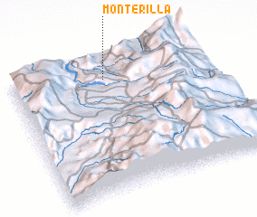 Places with similar names to Monterilla, Colombia ::
// Montreal (US)
// Montreal (US)
// Munderloh (DE)
// Mandriole (IT)
// Monte Real (PT)
// Mantarlı (TR)
// Monteril (ES)
// Minderla (RU)
// Mount Aerial (US)
// Montreal (US)
Disclaimer :: Information on this page comes without warranty of any kind |
||
|
Where is Monterilla? Elevation and coordinates ::
Latitude (lat): 2°51'20"N Longitude (lon): 76°31'16"W
Elevation (approx.): 1490m (map arrows pan, magnifying glasses zoom) |
||
|
Visiting Monterilla? Hotel/Accommodation ::
Book a hotel in Monterilla Travel Guide ::
Buy a travel guide for Colombia rental cars ::
car rental offers GPS waypoint ::
download a GPX waypoint (PoI) of Monterilla for your GPS receiver
|
||