|
search place name
|
||
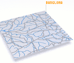
Bangloma (Congo, Democratic Republic of the)Bangloma is a town in Congo, Democratic Republic of the. An overview map of the region around Bangloma is displayed below.
regional and 3d topo map of Bangloma, Congo, Democratic Republic of the ::

Bangloma airports ::
The nearest airport is IRP - Isiro Matari, located 123.7 km south east of Bangloma.
Nearby towns ::
 Places with similar names to Bangloma, Congo, Democratic Republic of the ::
// Bungalum (PH)
// Ban Kalum (TH)
// Ban Kiu Lom (TH)
// Ban Klam (TH)
// Ban Ko Loi Mai (TH)
// Ban Na Khlom (TH)
// Ban Ngu Luam (TH)
// Bena-Kalombo (CD)
// Bena-Kalombo (CD)
// Bungalama (CD)
Disclaimer :: Information on this page comes without warranty of any kind |
||
|
Where is Bangloma? Elevation and coordinates ::
Latitude (lat): 3°39'0"N Longitude (lon): 26°50'0"E
Elevation (approx.): 639m (map arrows pan, magnifying glasses zoom) |
||
|
Visiting Bangloma? Hotel/Accommodation ::
Book a hotel in Bangloma Travel Guide ::
rental cars ::
car rental offers GPS waypoint ::
download a GPX waypoint (PoI) of Bangloma for your GPS receiver
|
||