|
search place name
|
||
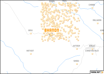
Bhanon (India)Bhanon is a town in India. An overview map of the region around Bhanon is displayed below.
regional and 3d topo map of Bhanon, India ::
Bhanon airports ::
The nearest airport is IXC - Chandigarh, located 56.7 km south west of Bhanon.
Other airports nearby include KUU - Kulu Kullu Manali (82.6 km north), LUH - Ludhiaha Ludhiana (108.1 km west), DED - Dehra Dun Dehradun (152.0 km south east), IXP - Pathankot (180.0 km north west), Nearby towns ::
Naloi (0.3km north west) //
Dhāila (0.5km south) //
Shakoh (0.7km north) //
Rāpra (0.9km south) //
Kālihatti (0.8km south east) //
Malāngan (1.0km south) //
Jamlog (0.9km west) //
Malāngan (1.0km south west) //
Tāl (1.0km south east) //
Jākhari (1.1km north east) //
Shāmi (1.0km west) //
Jākhari (1.2km north east) //
Sāndli (1.4km north west) //
Patshāl (1.6km south east) //
Dochi (1.6km north) //
Rangol (1.6km south west) //
Shakrāh (1.5km east) //
Ghiāntu (1.7km north west) //
Marhāog (1.9km north) //
Barog (1.8km south west) //
Syātha (1.8km north west) //
Bangora (2.0km north) //
Shanāch (1.9km north east) //
Saīdan (2.0km north east) //
Choūnri (2.1km east) //
Kothi Kunāl (2.4km north) //
Dharail (2.3km north west) //
Obru (2.5km north) //
Panjail (2.3km north west) //
[all distances 'as the bird flies' and approximate] 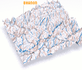 Places with similar names to Bhanon, India ::
Disclaimer :: Information on this page comes without warranty of any kind |
||
|
Where is Bhanon? Elevation and coordinates ::
Latitude (lat): 31°8'18"N Longitude (lon): 77°2'8"E
Elevation (approx.): 1355m (map arrows pan, magnifying glasses zoom) |
||
|
Visiting Bhanon? Hotel/Accommodation ::
Book a hotel in Bhanon Travel Guide ::
Buy a travel guide for India rental cars ::
car rental offers GPS waypoint ::
download a GPX waypoint (PoI) of Bhanon for your GPS receiver
|
||