|
search place name
|
||
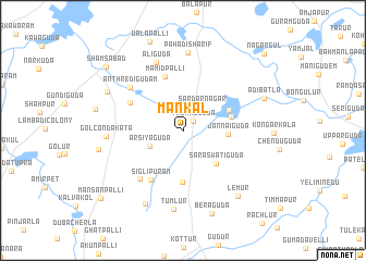
Mankal (Andhra Pradesh, India)Mankal is a town in the Andhra Pradesh region of India. An overview map of the region around Mankal is displayed below.
regional and 3d topo map of Mankal, India ::
Mankal airports ::
The nearest airport is HYD - Hyderabad, located 27.8 km north of Mankal.
Nearby towns ::
Thukkuguda (1.4km north east) //
Sardarnagar (3.0km north east) //
Arsiyaguda (3.7km south west) //
Jannaiguda (4.5km east) //
Saraswatiguda (4.8km south east) //
Kongara (4.9km east) //
Rāwirāl (5.0km north east) //
Mohbatnagar (5.3km south) //
Mamidpalli (5.8km north) //
Siglipuram (5.9km south west) //
Gulvagudam (5.9km north west) //
Gangaram (6.5km south west) //
Anthredigudam (6.8km north west) //
Alīguda (7.4km north) //
Golcondakata (7.5km west) //
Pahadisharif (8.0km north) //
Tumlur (8.1km south) //
Maisaram (8.4km south west) //
Gollapalli (8.4km north west) //
Lemūr (8.6km south east) //
Nagāram (8.5km west) //
Ādibatla (8.6km east) //
Beraguda (9.0km south) //
Shamsābād (9.9km north west) //
Mansanpalli (10.7km south west) //
Nāgargūl (11.2km north east) //
[all distances 'as the bird flies' and approximate] 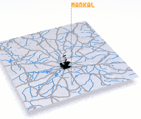 Places with similar names to Mankal, India ::
// Managale (MM)
// Mangla (MM)
// Mān Ka-lao (MM)
// Mān Kalu (MM)
// Mān Nawkla (MM)
// Maungla (MM)
// Maunglaw (MM)
// Mingala (MM)
// Mingala (MM)
// Möng La (MM)
Disclaimer :: Information on this page comes without warranty of any kind |
||
|
Where is Mankal? Elevation and coordinates ::
Latitude (lat): 17°12'7"N Longitude (lon): 78°28'3"E
Elevation (approx.): 592m (map arrows pan, magnifying glasses zoom) |
||
|
Visiting Mankal? Hotel/Accommodation ::
Book a hotel in Mankal Travel Guide ::
Buy a travel guide for India rental cars ::
car rental offers GPS waypoint ::
download a GPX waypoint (PoI) of Mankal for your GPS receiver
|
||