|
search place name
|
||
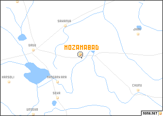
Mozamābād (Rājasthān, India)Mozamābād is a town in the Rājasthān region of India. An overview map of the region around Mozamābād is displayed below.
regional and 3d topo map of Mozamābād, India ::
Mozamābād airports ::
The nearest airport is JAI - Jaipur, located 50.7 km east of Mozamābād.
Other airports nearby include KTU - Kota (174.6 km south), DEL - Delhi Indira Gandhi Intl (273.6 km north east), Nearby towns ::
Māngarwāra (7.5km south west) //
Sāwarda (8.1km north west) //
[all distances 'as the bird flies' and approximate] 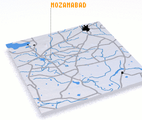 Places with similar names to Mozamābād, India ::
// Māsimābād (BD)
// Meys̄amābād (IR)
// Mowsemābād (IR)
// Moazzamābād (PK)
// Muazzamābād (PK)
// Ma‘şūmābād (IR)
// Ma‘şūmābād (IR)
// Ma‘şūmābād (IR)
// Ma‘şūmābād (IR)
// Ma‘şūmābād (IR)
Disclaimer :: Information on this page comes without warranty of any kind |
||
|
Where is Mozamābād? Elevation and coordinates ::
Latitude (lat): 26°40'0"N Longitude (lon): 75°20'0"E
Elevation (approx.): 334m (map arrows pan, magnifying glasses zoom) |
||
|
Visiting Mozamābād? Hotel/Accommodation ::
Book a hotel in Mozamābād Travel Guide ::
Buy a travel guide for India rental cars ::
car rental offers GPS waypoint ::
download a GPX waypoint (PoI) of Mozamābād for your GPS receiver
|
||