|
search place name
|
||
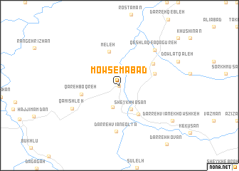
Mowsemābād (Kordestān, Iran)Mowsemābād is a town in the Kordestān region of Iran. An overview map of the region around Mowsemābād is displayed below.
regional and 3d topo map of Mowsemābād, Iran ::
Mowsemābād airports ::
The nearest airport is SDG - Sanandaj, located 97.0 km south east of Mowsemābād.
Other airports nearby include KSH - Bakhtaran Shahid Ashrafi Esfahani (194.0 km south), Nearby towns ::
Māhīdar-e Sheykh (0.0km north) //
Rostam Kar (3.5km south) //
Sheykh Ḩasan (4.0km south) //
Mūlānābād (5.1km south east) //
Meleh (5.5km north) //
Māhīdar ‘Olyā (4.9km east) //
Qareh Boqreh (5.0km west) //
Māhīdar-e Soflá (5.5km north east) //
Darreh Vīān-e ‘Olyā (7.2km south) //
Qeshlāq-e Āqā Gūreh (7.2km north east) //
Qāmīshleh (7.0km south west) //
Darreh Vīān-e Khowshkeh (8.7km south east) //
[all distances 'as the bird flies' and approximate] 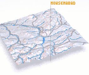 Places with similar names to Mowsemābād, Iran ::
// Māsimābād (BD)
// Mozamābād (IN)
// Meys̄amābād (IR)
// Moazzamābād (PK)
// Muazzamābād (PK)
// Ma‘şūmābād (IR)
// Ma‘şūmābād (IR)
// Ma‘şūmābād (IR)
// Ma‘şūmābād (IR)
// Ma‘şūmābād (IR)
Disclaimer :: Information on this page comes without warranty of any kind |
||
|
Where is Mowsemābād? Elevation and coordinates ::
Latitude (lat): 36°0'0"N Longitude (lon): 46°28'0"E
Elevation (approx.): 1684m (map arrows pan, magnifying glasses zoom) |
||
|
Visiting Mowsemābād? Hotel/Accommodation ::
Book a hotel in Mowsemābād Travel Guide ::
Buy a travel guide for Iran rental cars ::
car rental offers GPS waypoint ::
download a GPX waypoint (PoI) of Mowsemābād for your GPS receiver
|
||