|
search place name
|
||
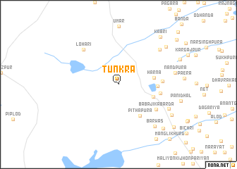
Tunkra (Rājasthān, India)Tunkra is a town in the Rājasthān region of India. An overview map of the region around Tunkra is displayed below.
regional and 3d topo map of Tunkra, India ::
Tunkra airports ::
The nearest airport is KTU - Kota, located 62.9 km south east of Tunkra.
Other airports nearby include JAI - Jaipur (140.4 km north), UDR - Udaipur (190.8 km south west), Nearby towns ::
Harna (5.1km east) //
Hindoli (5.4km east) //
Pīthāpura (5.9km south east) //
Kānch ki Antri (5.6km east) //
Amratiya (6.1km east) //
Bālola (6.3km east) //
Bābāji ka Barda (6.8km south east) //
Lohāri (7.5km north west) //
Roshanda (8.1km north east) //
Barwās (8.4km south east) //
Kararkheri (8.2km south east) //
Munshipura (9.1km north east) //
Akior (9.1km south east) //
Dhanpura (9.5km south east) //
Kābri (9.6km north east) //
Māngli Kalān (10.2km south east) //
Chatarganj (10.5km south east) //
Māngli Khurd (11.3km south east) //
[all distances 'as the bird flies' and approximate] 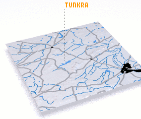 Places with similar names to Tunkra, India ::
Disclaimer :: Information on this page comes without warranty of any kind |
||
|
Where is Tunkra? Elevation and coordinates ::
Latitude (lat): 25°36'0"N Longitude (lon): 75°27'0"E
Elevation (approx.): 317m (map arrows pan, magnifying glasses zoom) |
||
|
Visiting Tunkra? Hotel/Accommodation ::
Book a hotel in Tunkra Travel Guide ::
Buy a travel guide for India rental cars ::
car rental offers GPS waypoint ::
download a GPX waypoint (PoI) of Tunkra for your GPS receiver
|
||