|
search place name
|
||
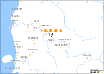
Kalonding (Sulawesi Selatan, Indonesia)Kalonding is a town in the Sulawesi Selatan region of Indonesia. An overview map of the region around Kalonding is displayed below.
regional and 3d topo map of Kalonding, Indonesia ::
Kalonding airports ::
The nearest airport is PLW - Palu Mutiara, located 174.2 km north east of Kalonding.
Other airports nearby include PSJ - Poso Kasiguncu (187.2 km north east), Nearby towns ::
Pedasi (2.0km south) //
Salukuweh (2.5km north west) //
Tamemongga (2.6km north west) //
Pateraan (4.0km north west) //
Pokarawaan (4.9km east) //
Tamalekong (5.1km south east) //
Kalepu (5.9km north west) //
Loso (6.9km west) //
Baru (6.9km west) //
Takosang (6.9km west) //
Bajo (7.5km north west) //
Bulucengkeh (8.0km west) //
Alangalong (8.7km north west) //
Bodaboda (8.9km south west) //
Mariri (9.1km west) //
Sidal (9.2km west) //
Tarailu (9.5km north west) //
Amberaro (10.2km south west) //
Katuangan (11.1km south west) //
[all distances 'as the bird flies' and approximate] 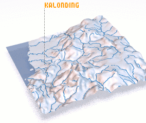 Places with similar names to Kalonding, Indonesia ::
// Coal Landing (US)
// Koulnatenga (BF)
// Glondong (ID)
// Klenteng (ID)
// Gali Ndiang (SN)
// Kolnae-dong (KP)
// Klinting (DK)
// Kilandonnaíika (GR)
Disclaimer :: Information on this page comes without warranty of any kind |
||
|
Where is Kalonding? Elevation and coordinates ::
Latitude (lat): 2°20'55"S Longitude (lon): 119°15'12"E
Elevation (approx.): 19m (map arrows pan, magnifying glasses zoom) |
||
|
Visiting Kalonding? Hotel/Accommodation ::
Book a hotel in Kalonding Travel Guide ::
Buy a travel guide for Indonesia rental cars ::
car rental offers GPS waypoint ::
download a GPX waypoint (PoI) of Kalonding for your GPS receiver
|
||