|
search place name
|
||
Ngaduman (Jawa Tengah, Indonesia)Ngaduman is a town in the Jawa Tengah region of Indonesia. An overview map of the region around Ngaduman is displayed below.
regional and 3d topo map of Ngaduman, Indonesia ::

Nearby towns ::
Kopeng (3.0km north west) //
Jogonayan (3.1km west) //
Kembang (4.5km north) //
Getasan (4.6km north) //
Ngablak (4.6km west) //
Jlarem (4.9km east) //
Lodosawu (4.9km west) //
Melambong (5.1km east) //
Kiyudan (5.3km south west) //
Dalangan (6.5km north west) //
Kembang (6.8km east) //
Karangbowo (6.9km east) //
Kembang (7.3km south east) //
Polobogo (7.8km north) //
Kintelan (7.8km west) //
Palang-Putih (8.0km north) //
Pogalan (8.3km south west) //
Pamot (8.3km north east) //
Tonolayu (8.4km south east) //
Klerokrajan (8.4km east) //
Selo (8.6km south) //
Dlisem (8.7km east) //
Sepakung (9.3km north) //
Pagergunung (9.4km north west) //
Windusabrang (9.5km south west) //
Gandan (9.5km south west) //
Jagalan (10.0km north east) //
Tegalrejo Satu (10.8km north east) //
Belang Dua (11.3km south west) //
[all distances 'as the bird flies' and approximate] 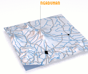 Places with similar names to Ngaduman, Indonesia ::
// Nagatman (PG)
Disclaimer :: Information on this page comes without warranty of any kind |
||
|
Where is Ngaduman? Elevation and coordinates ::
Latitude (lat): 7°25'2"S Longitude (lon): 110°26'23"E
Elevation (approx.): 1712m (map arrows pan, magnifying glasses zoom) |
||
|
Visiting Ngaduman? Hotel/Accommodation ::
Book a hotel in Ngaduman Travel Guide ::
Buy a travel guide for Indonesia rental cars ::
car rental offers GPS waypoint ::
download a GPX waypoint (PoI) of Ngaduman for your GPS receiver
|
||