|
search place name
|
||
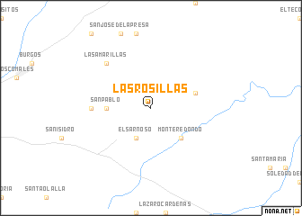
Las Rosillas (Tamaulipas, Mexico)Las Rosillas is a town in the Tamaulipas region of Mexico. An overview map of the region around Las Rosillas is displayed below.
regional and 3d topo map of Las Rosillas, Mexico ::
Las Rosillas airports ::
The nearest airport is REX - Reynosa General Lucio Blanco Intl, located 130.0 km north of Las Rosillas.
Other airports nearby include CVM - Ciudad Victoria General Pedro Jose Mendez Intl (136.1 km south), MFE - Mcallen Mc Allen Miller Intl (147.3 km north), MAM - Matamoros General Servando Canales Intl (148.7 km north east), BRO - Brownsville South Padre Island Intl (166.2 km north east), Nearby towns ::
El Sarnoso (4.1km south west) //
Monte Redondo (5.0km south east) //
San Pablo (5.0km west) //
El Ébano (5.4km east) //
El Divisadero (6.7km west) //
Las Amarillas (7.5km north west) //
[all distances 'as the bird flies' and approximate] 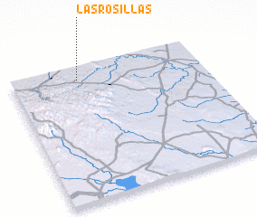 Places with similar names to Las Rosillas, Mexico ::
// Las Rosuelas (ES)
// Los Rosales (ES)
// Los Rosales (ES)
// Los Rosales (ES)
// Los Riecillos (CL)
// Los Arrozales (SV)
// Los Rosales (MX)
// Los Rosales (MX)
// Los Arrozales (HN)
// Los Rosales (VE)
Disclaimer :: Information on this page comes without warranty of any kind |
||
|
Where is Las Rosillas? Elevation and coordinates ::
Latitude (lat): 24°54'0"N Longitude (lon): 98°39'0"W
Elevation (approx.): 223m (map arrows pan, magnifying glasses zoom) |
||
|
Visiting Las Rosillas? Hotel/Accommodation ::
Book a hotel in Las Rosillas Travel Guide ::
Buy a travel guide for Mexico rental cars ::
car rental offers GPS waypoint ::
download a GPX waypoint (PoI) of Las Rosillas for your GPS receiver
|
||