|
search place name
|
||
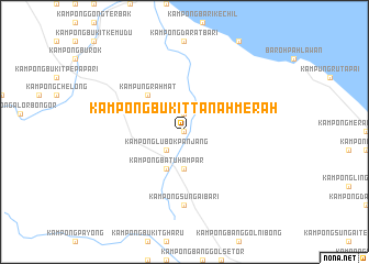
Kampong Bukit Tanah Merah (Terengganu, Malaysia)Kampong Bukit Tanah Merah is a town in the Terengganu region of Malaysia. An overview map of the region around Kampong Bukit Tanah Merah is displayed below.
regional and 3d topo map of Kampong Bukit Tanah Merah, Malaysia ::
Kampong Bukit Tanah Merah airports ::
The nearest airport is TGG - Kuala Terengganu Sultan Mahmud, located 29.6 km east of Kampong Bukit Tanah Merah.
Other airports nearby include KBR - Kota Bahru Sultan Ismail Petra (99.0 km north west), KTE - Kerteh (121.1 km south east), NAW - Narathiwat (169.0 km north west), KUA - Kuantan (191.2 km south), Nearby towns ::
Kampong Gong Terap (0.0km north) //
Kampong Bukit Tok Ak (0.0km north) //
Kampong Kubang Puyu (1.9km north) //
Kampong Lubok Panjang (2.6km south west) //
Kampong Sungai Rakit (3.7km south) //
Kampong Lerek (3.7km south) //
Kampong Batu Hampar (4.1km south west) //
Kampung Hulu Caluk (4.1km south west) //
Kampung Rahmat (5.2km north west) //
Kampong Sungai Bari (7.4km south) //
[all distances 'as the bird flies' and approximate]  Places with similar names to Kampong Bukit Tanah Merah, Malaysia :: Disclaimer :: Information on this page comes without warranty of any kind |
||
|
Where is Kampong Bukit Tanah Merah? Elevation and coordinates ::
Latitude (lat): 5°28'0"N Longitude (lon): 102°51'0"E
Elevation (approx.): 16m (map arrows pan, magnifying glasses zoom) |
||
|
Visiting Kampong Bukit Tanah Merah? Hotel/Accommodation ::
Book a hotel in Kampong Bukit Tanah Merah Travel Guide ::
Buy a travel guide for Malaysia rental cars ::
car rental offers GPS waypoint ::
download a GPX waypoint (PoI) of Kampong Bukit Tanah Merah for your GPS receiver
|
||