|
search place name
|
||
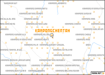
Kampong Chentah (Negeri Sembilan, Malaysia)Kampong Chentah is a town in the Negeri Sembilan region of Malaysia. An overview map of the region around Kampong Chentah is displayed below.
regional and 3d topo map of Kampong Chentah, Malaysia ::
Kampong Chentah airports ::
The nearest airport is MKZ - Malacca, located 36.0 km south of Kampong Chentah.
Other airports nearby include KUL - Kuala Lumpur Intl (51.1 km north west), DUM - Dumai Pinang Kampai (131.4 km south west), KUA - Kuantan (179.3 km north east), JHB - Johor Bahru Sultan Ismail (199.2 km south east), Nearby towns ::
Kampong Bongek (0.0km north) //
Kampong Pulau Bintongan (1.9km north) //
Kampong Pulau (1.9km north) //
Kampong Batu (1.9km north) //
Kampong Selemak Bongek (1.9km west) //
Kampong Tanah Datar Bongek (1.9km west) //
Kampong Miku Pindah (1.9km west) //
Kampong Mayon (1.9km south) //
Kampong Batu Puteh (1.9km south) //
Kampong Chenong (1.9km south) //
Cengkau (1.9km south) //
Kampong Solok Bangkong (1.9km south) //
Gaong Panjang (1.9km south) //
Kampong Lada (1.9km south) //
Kampong Ulu Chenong (1.9km south) //
Kampong Sungai Layang (2.6km north west) //
Kampong Batu (2.6km north west) //
Kampong Batu Menunggol (2.6km north west) //
Solok Bangkong (2.6km south west) //
Kampong Tanah Datar (2.6km south west) //
Kampong Pulau Besar (2.6km south west) //
Kampong Pulau Mampat (2.6km south west) //
Kampong Mampat (2.6km south west) //
Kampong Anak Acheh (2.6km south west) //
Kampong Chengkau Ulu (2.6km south east) //
Tanjong Berangan (2.6km south east) //
Kampong Bintongan (3.7km north) //
Kampong Solok Batu Hampar (3.7km west) //
Kampong Perigi Jerneh (3.7km west) //
[all distances 'as the bird flies' and approximate] 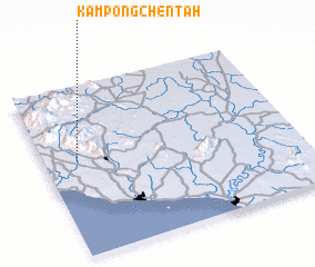 Places with similar names to Kampong Chentah, Malaysia :: Disclaimer :: Information on this page comes without warranty of any kind |
||
|
Where is Kampong Chentah? Elevation and coordinates ::
Latitude (lat): 2°34'0"N Longitude (lon): 102°8'0"E
Elevation (approx.): 54m (map arrows pan, magnifying glasses zoom) |
||
|
Visiting Kampong Chentah? Hotel/Accommodation ::
Book a hotel in Kampong Chentah Travel Guide ::
Buy a travel guide for Malaysia rental cars ::
car rental offers GPS waypoint ::
download a GPX waypoint (PoI) of Kampong Chentah for your GPS receiver
|
||