|
search place name
|
||
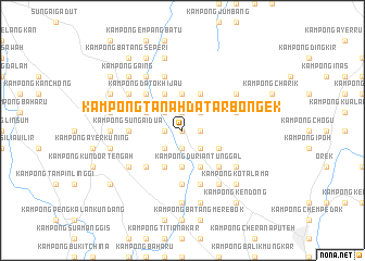
Kampong Tanah Datar Bongek (Negeri Sembilan, Malaysia)Kampong Tanah Datar Bongek is a town in the Negeri Sembilan region of Malaysia. An overview map of the region around Kampong Tanah Datar Bongek is displayed below.
regional and 3d topo map of Kampong Tanah Datar Bongek, Malaysia ::
Kampong Tanah Datar Bongek airports ::
The nearest airport is MKZ - Malacca, located 36.7 km south east of Kampong Tanah Datar Bongek.
Other airports nearby include KUL - Kuala Lumpur Intl (49.4 km north west), DUM - Dumai Pinang Kampai (130.3 km south west), KUA - Kuantan (180.6 km north east), JHB - Johor Bahru Sultan Ismail (200.8 km south east), Nearby towns ::
Kampong Miku Pindah (0.0km north) //
Kampong Selemak Bongek (0.0km north) //
Kampong Batu (1.9km north) //
Kampong Sungai Layang (1.9km north) //
Kampong Batu Menunggol (1.9km north) //
Kampong Chentah (1.9km east) //
Kampong Bongek (1.9km east) //
Kampong Pulau Besar (1.9km south) //
Solok Bangkong (1.9km south) //
Kampong Anak Acheh (1.9km south) //
Kampong Pulau Mampat (1.9km south) //
Kampong Tanah Datar (1.9km south) //
Kampong Mampat (1.9km south) //
Kampong Keling (1.9km west) //
Kampong Perigi Jerneh (1.9km west) //
Kampong Solok Batu Hampar (1.9km west) //
Kampong Mampong (1.9km west) //
Kampong Padang Lebar (1.9km west) //
Kampong Tanjong (1.9km west) //
Kampong Pulau (2.6km north east) //
Kampong Pulau Bintongan (2.6km north east) //
Kampong Batu (2.6km north east) //
Kampong Batu Hampar (2.6km north west) //
Kampong Senama Hilir (2.6km north west) //
Kampong Mungkal Teba (2.6km north west) //
Kampong Senama Ulu (2.6km north west) //
Kampong Senama (2.6km north west) //
Rembau (2.6km north west) //
Kampong Baharu (2.6km north west) //
[all distances 'as the bird flies' and approximate] 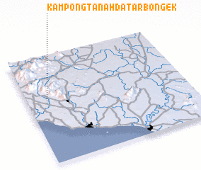 Places with similar names to Kampong Tanah Datar Bongek, Malaysia :: Disclaimer :: Information on this page comes without warranty of any kind |
||
|
Where is Kampong Tanah Datar Bongek? Elevation and coordinates ::
Latitude (lat): 2°34'0"N Longitude (lon): 102°7'0"E
Elevation (approx.): 47m (map arrows pan, magnifying glasses zoom) |
||
|
Visiting Kampong Tanah Datar Bongek? Hotel/Accommodation ::
Book a hotel in Kampong Tanah Datar Bongek Travel Guide ::
Buy a travel guide for Malaysia rental cars ::
car rental offers GPS waypoint ::
download a GPX waypoint (PoI) of Kampong Tanah Datar Bongek for your GPS receiver
|
||