|
search place name
|
||
Imām ‘Awn (Al Qādisīyah, Iraq)Imām ‘Awn is a town in the Al Qādisīyah region of Iraq. An overview map of the region around Imām ‘Awn is displayed below.
regional and 3d topo map of Imām ‘Awn, Iraq ::

Nearby towns ::
Nabī Ibrāhīm (2.1km north west) //
Qaryat Jaḩab (2.2km south west) //
Kāmil Kāz̧im (2.6km south) //
Al Jawāsim (3.0km north west) //
Ḩamādī Āl ‘Abbās (3.5km south west) //
Sabhān al Khanjar (3.6km south west) //
Sayyid Ḩāmid (3.9km east) //
Ash Shāfi‘īyah (4.9km north) //
Al ‘Aţāʼ (4.9km north east) //
Nājī Khalīl (5.5km north west) //
Ḩamd Allāh al ‘Uşfūr (7.4km west) //
Ālbū Maţar (8.5km south east) //
Jāsim Ḩammādī (9.0km north) //
Ghāzī Idrīs (8.9km south east) //
As Sayyid Jābir (9.5km north west) //
[all distances 'as the bird flies' and approximate] 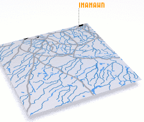 Places with similar names to Imām ‘Awn, Iraq ::
Disclaimer :: Information on this page comes without warranty of any kind |
||
|
Where is Imām ‘Awn? Elevation and coordinates ::
Latitude (lat): 31°54'22"N Longitude (lon): 44°51'38"E
Elevation (approx.): 24m (map arrows pan, magnifying glasses zoom) |
||
|
Visiting Imām ‘Awn? Hotel/Accommodation ::
Book a hotel in Imām ‘Awn Travel Guide ::
Buy a travel guide for Iraq rental cars ::
car rental offers GPS waypoint ::
download a GPX waypoint (PoI) of Imām ‘Awn for your GPS receiver
|
||