|
search place name
|
||
Karīm aş Şudā‘ī (Diyālá, Iraq)Karīm aş Şudā‘ī is a town in the Diyālá region of Iraq. An overview map of the region around Karīm aş Şudā‘ī is displayed below.
regional and 3d topo map of Karīm aş Şudā‘ī, Iraq ::
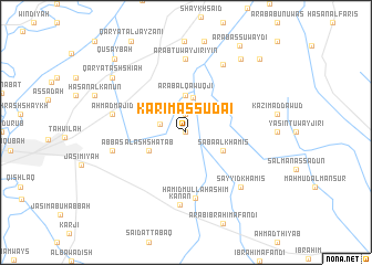
Nearby towns ::
Yūsuf al Mukhaybir (0.0km north) //
Ar Rumaylāt (1.9km north) //
Nabī Dāniyāl (2.4km west) //
Abū Tīnah (3.6km north) //
‘Arab al Qāwuqjī (3.7km north) //
Āl ash Shaţab (3.6km south west) //
Sābā al Khamīs (3.6km south east) //
Ḩamīd Mullā Hāshim (6.7km south) //
Kan‘ān (7.3km south) //
‘Arab Tuwayjirīyīn (7.4km north) //
Aḩmad Majīd (6.4km west) //
‘Abbās (6.4km west) //
Şunayjah (7.5km north east) //
Sayyid Khamīs (7.2km south east) //
As Sayyid Majīd (8.7km north east) //
Qaryat ash Shī‘ah (8.3km north west) //
‘Arab as Suwaydī (9.8km north east) //
Quşaybah (9.5km north west) //
As Sayyid ‘Alī an Naqīb (9.6km north east) //
[all distances 'as the bird flies' and approximate] 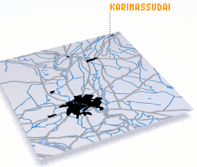 Places with similar names to Karīm aş Şudā‘ī, Iraq ::
// Grimisuat (CH)
// Grimzdai (LT)
// Grămeşti (RO)
// Keramzit (RU)
// Cream City (US)
// Guarimacito (CO)
// Karamsad (IN)
// Karm Saddé (LB)
// Kirimassidi (NE)
// Karam Bast (IR)
Disclaimer :: Information on this page comes without warranty of any kind |
||
|
Where is Karīm aş Şudā‘ī? Elevation and coordinates ::
Latitude (lat): 33°46'0"N Longitude (lon): 44°48'0"E
Elevation (approx.): 47m (map arrows pan, magnifying glasses zoom) |
||
|
Visiting Karīm aş Şudā‘ī? Hotel/Accommodation ::
Book a hotel in Karīm aş Şudā‘ī Travel Guide ::
Buy a travel guide for Iraq rental cars ::
car rental offers GPS waypoint ::
download a GPX waypoint (PoI) of Karīm aş Şudā‘ī for your GPS receiver
|
||