|
search place name
|
||
Kharāʼib Raḩīm Āl Safar (Al Muthanná, Iraq)Kharāʼib Raḩīm Āl Safar is a town in the Al Muthanná region of Iraq. An overview map of the region around Kharāʼib Raḩīm Āl Safar is displayed below.
regional and 3d topo map of Kharāʼib Raḩīm Āl Safar, Iraq ::
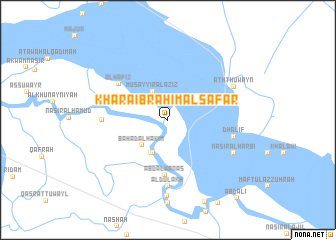
Nearby towns ::
Musayyir al ‘Azīz (3.5km north west) //
Allak adh Dhahir (3.9km south) //
Bahāḑ Āl Ḩākim (3.8km south west) //
Kazār Āl Badr (4.0km south west) //
As Sayyid Yāsir Āl Ḩamūd (4.0km south west) //
‘Abd Āl Wanās (6.2km south) //
Al Ḩāfiz̧ (6.2km north west) //
Āl Dulākh (7.4km south) //
Ţurayţish Āl Ḩabīb (7.4km south) //
Al Ḩāfiz̧ (6.3km west) //
Dhalif (6.6km east) //
Masīr al Ḩarbī (7.3km south east) //
Ath Thuwayn (7.3km north east) //
Al Khiḑr (8.5km south) //
‘Abd ‘Alī (10.9km south east) //
[all distances 'as the bird flies' and approximate] 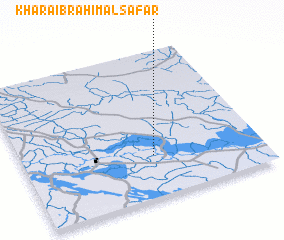 Places with similar names to Kharāʼib Raḩīm Āl Safar, Iraq :: Disclaimer :: Information on this page comes without warranty of any kind |
||
|
Where is Kharāʼib Raḩīm Āl Safar? Elevation and coordinates ::
Latitude (lat): 31°17'0"N Longitude (lon): 45°33'0"E
Elevation (approx.): 9m (map arrows pan, magnifying glasses zoom) |
||
|
Visiting Kharāʼib Raḩīm Āl Safar? Hotel/Accommodation ::
Book a hotel in Kharāʼib Raḩīm Āl Safar Travel Guide ::
Buy a travel guide for Iraq rental cars ::
car rental offers GPS waypoint ::
download a GPX waypoint (PoI) of Kharāʼib Raḩīm Āl Safar for your GPS receiver
|
||