|
search place name
|
||
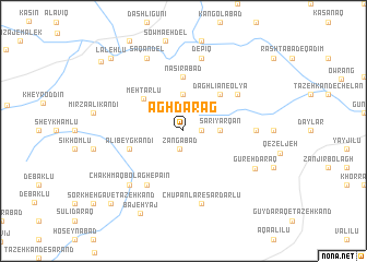
Āgh Darag (Kermān, Iran)Āgh Darag is a town in the Kermān region of Iran. An overview map of the region around Āgh Darag is displayed below.
regional and 3d topo map of Āgh Darag, Iran ::
Āgh Darag airports ::
The nearest airport is TBZ - Tabriz Intl, located 56.0 km south west of Āgh Darag.
Nearby towns ::
Naşīrābād (1.5km east) //
Zangābād (1.8km south) //
Sārī Yārqān (2.9km east) //
‘Alīābād (3.7km north) //
Mehtarlū (4.6km north west) //
Daghlīān-e ‘Olyā (4.7km north east) //
Naşīrābād (5.6km north) //
‘Alī Beyg Kandī (4.7km south west) //
Chakhmāq Bolāgh-e Bālā (6.3km south west) //
Holān (5.7km north east) //
Daghalīān-e Pāʼīn (5.7km north east) //
Golūjeh-ye Mollā Lār (5.8km east) //
Chūpānlār-e Sardārlū (7.6km south) //
Depīq (7.6km north) //
Chāy Kandī (7.1km south west) //
Chakhmāq Bolāgh-e Pāʼīn (7.1km south west) //
Saqandel (8.0km north) //
Gūreh Daraq (7.0km south east) //
Bājeh Yāj (9.2km south) //
Sorkheh Gāv-e Tāzehkand (9.4km south west) //
Lalehlū (9.4km north west) //
Varzaqān (9.7km north west) //
[all distances 'as the bird flies' and approximate] 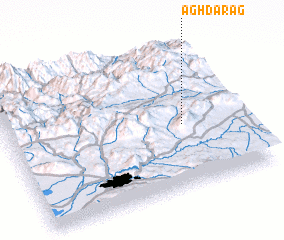 Places with similar names to Āgh Darag, Iran ::
// Auf der Eck (DE)
// Āgh Daraq (IR)
Disclaimer :: Information on this page comes without warranty of any kind |
||
|
Where is Āgh Darag? Elevation and coordinates ::
Latitude (lat): 38°26'0"N Longitude (lon): 46°45'0"E
Elevation (approx.): 1959m (map arrows pan, magnifying glasses zoom) |
||
|
Visiting Āgh Darag? Hotel/Accommodation ::
Book a hotel in Āgh Darag Travel Guide ::
Buy a travel guide for Iran rental cars ::
car rental offers GPS waypoint ::
download a GPX waypoint (PoI) of Āgh Darag for your GPS receiver
|
||