|
search place name
|
||
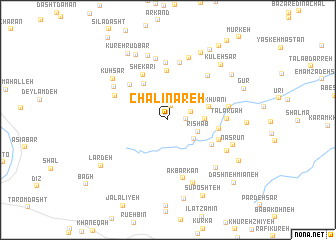
Chālī Nareh (Ardabīl, Iran)Chālī Nareh is a town in the Ardabīl region of Iran. An overview map of the region around Chālī Nareh is displayed below.
regional and 3d topo map of Chālī Nareh, Iran ::
Chālī Nareh airports ::
The nearest airport is RAS - Rasht, located 62.8 km east of Chālī Nareh.
Other airports nearby include RZR - Ramsar (165.9 km east), Nearby towns ::
Sotūn (1.5km north) //
Bernī Balengā (1.6km east) //
Arreh Cheshmeh (2.2km north east) //
Seh Sarān (3.1km south east) //
Rīshāb (3.0km south east) //
Sefīd Dasht (3.3km east) //
Sīāh Khvānī (3.9km east) //
Khasārehzād (4.5km north west) //
Now Kafsh (5.4km north) //
Bīlī (4.8km south east) //
Shekārī (5.5km north west) //
Khūn (4.7km east) //
Dashteh (5.2km north west) //
Tondvazeh (5.0km south east) //
Poshteh (6.3km north) //
Gazkūn (6.5km north) //
Tālārgāh (5.2km east) //
‘Alīvāsh (5.5km north west) //
‘Anbarā Dūl (6.1km north east) //
Akbarkān (6.6km south) //
Gīlvānā (5.6km east) //
Bīāchāl (6.9km north) //
Asyehvaseh (6.0km north west) //
Angūlesh (7.1km north) //
Vāshyār (6.3km south east) //
Bārgābzān (7.4km north) //
Tanīān (7.3km south) //
Khandīleh Posht (6.9km south east) //
Kūhsār (6.7km north west) //
[all distances 'as the bird flies' and approximate] 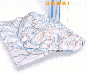 Places with similar names to Chālī Nareh, Iran ::
Disclaimer :: Information on this page comes without warranty of any kind |
||
|
Where is Chālī Nareh? Elevation and coordinates ::
Latitude (lat): 37°21'33"N Longitude (lon): 48°53'55"E
Elevation (approx.): 1768m (map arrows pan, magnifying glasses zoom) |
||
|
Visiting Chālī Nareh? Hotel/Accommodation ::
Book a hotel in Chālī Nareh Travel Guide ::
Buy a travel guide for Iran rental cars ::
car rental offers GPS waypoint ::
download a GPX waypoint (PoI) of Chālī Nareh for your GPS receiver
|
||