|
search place name
|
||
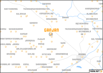
Garjān (Iran)Garjān is a town in Iran. An overview map of the region around Garjān is displayed below.
regional and 3d topo map of Garjān, Iran ::
Garjān airports ::
The nearest airport is RAS - Rasht, located 165.6 km south east of Garjān.
Other airports nearby include TBZ - Tabriz Intl (173.3 km west), Nearby towns ::
Mārānī (0.0km north) //
Shahrīvar (1.3km north) //
Āqājān Khān (1.9km south) //
Vījūjīn (3.4km south west) //
Bārūq (3.4km south west) //
Erdī (4.7km south east) //
Pārūq (4.7km south west) //
Şūmā (4.6km south east) //
Hamnavār (5.6km south) //
Ma‘şūmābād (5.6km north) //
Jabahdār (5.7km north) //
Dījūjīn (5.7km south west) //
Omīdcheh (6.1km south west) //
Ḩayehdār (7.4km north) //
Kord Qeshlāqī (7.6km north) //
Īmtecheh (7.6km south) //
S̄omarīn (6.5km north west) //
Sāmīān (7.3km north east) //
Ḩasan Bārūq (8.0km south) //
Āq Mīān (8.0km south) //
Khoshgeh Rūd (6.9km south west) //
Janāqrūd (6.7km west) //
Dowlat Sarā (8.6km south west) //
Dīvlaq (9.4km south west) //
[all distances 'as the bird flies' and approximate] 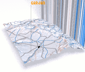 Places with similar names to Garjān, Iran ::
Disclaimer :: Information on this page comes without warranty of any kind |
||
|
Where is Garjān? Elevation and coordinates ::
Latitude (lat): 38°19'0"N Longitude (lon): 48°12'0"E
Elevation (approx.): 1377m (map arrows pan, magnifying glasses zoom) |
||
|
Visiting Garjān? Hotel/Accommodation ::
Book a hotel in Garjān Travel Guide ::
Buy a travel guide for Iran rental cars ::
car rental offers GPS waypoint ::
download a GPX waypoint (PoI) of Garjān for your GPS receiver
|
||