|
search place name
|
||
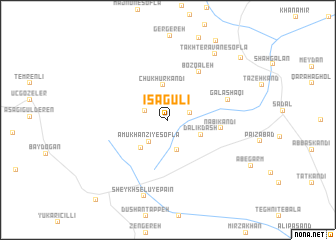
‘Īsá Gūlī (Ostān-e Āz̄arbāyjān-e Gharbī, Iran)‘Īsá Gūlī is a town in the Ostān-e Āz̄arbāyjān-e Gharbī region of Iran. An overview map of the region around ‘Īsá Gūlī is displayed below.
regional and 3d topo map of ‘Īsá Gūlī, Iran ::
‘Īsá Gūlī airports ::
The nearest airport is VAN - Van, located 105.0 km south west of ‘Īsá Gūlī.
Other airports nearby include TBZ - Tabriz Intl (199.7 km south east), Nearby towns ::
Taqī Kandī (2.1km north east) //
Segrīk (2.2km north west) //
‘Amūkhānzī-ye Soflá (2.9km south west) //
Qāshqā Bolāgh-e Soflá (3.4km south) //
Chūkhūr Kandī (3.9km north) //
Dalīkdash (3.3km south east) //
‘Amūkhānzī-ye ‘Olyā (3.9km south west) //
Nabī Kandī (4.7km east) //
Boz Qal‘eh (6.0km north east) //
Galāshaqī (5.7km north east) //
Sheykh Selū-ye Pā'īn (8.8km south) //
Takht-e Ravān-e Soflá (8.4km north east) //
Zāvīyeh-ye ‘Olyā (9.7km north east) //
Zāvīyeh-ye Soflá (9.4km north east) //
Sheykh Selū-ye Bālā (10.9km south west) //
[all distances 'as the bird flies' and approximate] 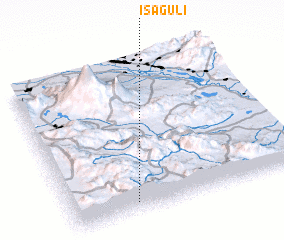 Places with similar names to ‘Īsá Gūlī, Iran ::
Disclaimer :: Information on this page comes without warranty of any kind |
||
|
Where is ‘Īsá Gūlī? Elevation and coordinates ::
Latitude (lat): 39°3'48"N Longitude (lon): 44°16'19"E
Elevation (approx.): 2285m (map arrows pan, magnifying glasses zoom) |
||
|
Visiting ‘Īsá Gūlī? Hotel/Accommodation ::
Book a hotel in ‘Īsá Gūlī Travel Guide ::
Buy a travel guide for Iran rental cars ::
car rental offers GPS waypoint ::
download a GPX waypoint (PoI) of ‘Īsá Gūlī for your GPS receiver
|
||