|
search place name
|
||
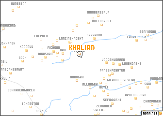
Khalīān (Gīlān, Iran)Khalīān is a town in the Gīlān region of Iran. An overview map of the region around Khalīān is displayed below.
regional and 3d topo map of Khalīān, Iran ::
Khalīān airports ::
The nearest airport is RAS - Rasht, located 86.5 km south east of Khalīān.
Other airports nearby include RZR - Ramsar (192.4 km south east), Nearby towns ::
Pīleh Līlī (1.1km north west) //
Gūkhas (2.5km north east) //
Khajā Khūnī (3.2km north east) //
Nāv (3.5km west) //
Zolā Khūnī (3.5km west) //
Larzīneh Posht (4.1km north west) //
Khamūsht (4.1km north west) //
Daryā Bon (5.0km north east) //
Amāngāh (5.3km south) //
Kheymeh Sarā (4.4km west) //
Nāv-e Bālā (4.5km west) //
Metesh (4.7km east) //
Derān (6.4km north) //
Pīchsūn (5.3km west) //
Kūreh Rūd (6.0km north west) //
Kūlārī (5.9km north west) //
Khāleh Zamīn (6.3km south east) //
Allāh Deh (7.1km south) //
Bālā Deh (6.8km south east) //
Vargeh Darreh (6.0km east) //
Shāh Rasūl-e Pā'īn (7.5km north) //
Reẕvān (6.5km south east) //
Panbeh Poshteh (6.7km south east) //
Harshūn Dasht (8.2km north) //
Dīkāshān (6.5km west) //
Dūlā Zamīn (7.7km south east) //
Kūleh Dasht (8.5km north east) //
Larzīreh Pesht (7.2km east) //
Beylī (8.7km south east) //
[all distances 'as the bird flies' and approximate] 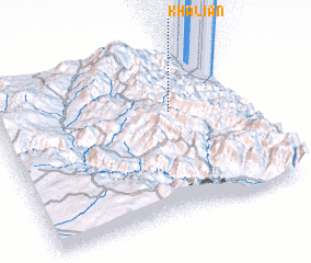 Places with similar names to Khalīān, Iran ::
Disclaimer :: Information on this page comes without warranty of any kind |
||
|
Where is Khalīān? Elevation and coordinates ::
Latitude (lat): 37°38'24"N Longitude (lon): 48°42'41"E
Elevation (approx.): 1639m (map arrows pan, magnifying glasses zoom) |
||
|
Visiting Khalīān? Hotel/Accommodation ::
Book a hotel in Khalīān Travel Guide ::
Buy a travel guide for Iran rental cars ::
car rental offers GPS waypoint ::
download a GPX waypoint (PoI) of Khalīān for your GPS receiver
|
||