|
search place name
|
||
Kūleh Dasht (Gīlān, Iran)Kūleh Dasht is a town in the Gīlān region of Iran. An overview map of the region around Kūleh Dasht is displayed below.
regional and 3d topo map of Kūleh Dasht, Iran ::

Kūleh Dasht airports ::
The nearest airport is RAS - Rasht, located 86.5 km south east of Kūleh Dasht.
Other airports nearby include RZR - Ramsar (192.3 km south east), Nearby towns ::
Ḩīāmber-e Bālā (2.2km north) //
Ḩīāmber-e Pā'īn (2.2km north west) //
Harshūn Dasht (2.4km west) //
Daryā Bon (3.5km south west) //
Khajā Khūnī (5.4km south) //
Shāh Rasūl-e Pā'īn (4.5km west) //
Gūkhas (6.0km south west) //
Derān (5.4km west) //
Vanī Khāleh (6.8km north) //
Pīrā Karī (7.0km north) //
Dūlah Sar (7.6km north) //
Larzīneh Posht (6.9km south west) //
Khamūsht (7.1km south west) //
Pīleh Līlī (8.0km south west) //
Lākāteshem (7.3km south east) //
Metesh (8.8km south) //
Khalīān (8.5km south west) //
Vargeh Darreh (9.1km south) //
Mīneh Bandī (9.6km north east) //
[all distances 'as the bird flies' and approximate] 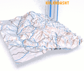 Places with similar names to Kūleh Dasht, Iran ::
// Goldasht (IR)
// Goldasht (IR)
// Kalleh Dasht (IR)
// Keleh Dasht (IR)
// Kalaidasht (TJ)
// Calei Tchitue (AO)
Disclaimer :: Information on this page comes without warranty of any kind |
||
|
Where is Kūleh Dasht? Elevation and coordinates ::
Latitude (lat): 37°42'30"N Longitude (lon): 48°45'14"E
Elevation (approx.): 1635m (map arrows pan, magnifying glasses zoom) |
||
|
Visiting Kūleh Dasht? Hotel/Accommodation ::
Book a hotel in Kūleh Dasht Travel Guide ::
Buy a travel guide for Iran rental cars ::
car rental offers GPS waypoint ::
download a GPX waypoint (PoI) of Kūleh Dasht for your GPS receiver
|
||