|
search place name
|
||
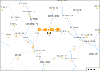
Kheder Shāh (Khorāsān, Iran)Kheder Shāh is a town in the Khorāsān region of Iran. An overview map of the region around Kheder Shāh is displayed below.
regional and 3d topo map of Kheder Shāh, Iran ::
Kheder Shāh airports ::
The nearest airport is ASB - Ashkhabad Ashgabat, located 129.8 km north of Kheder Shāh.
Nearby towns ::
Yengejeh (3.3km east) //
Rovī (4.0km west) //
Khāyesk (5.2km north) //
Pīr Shahbāz (6.5km north) //
Seylān-e Kārīz (5.7km east) //
Kāhān-e ‘Olyā (6.1km south west) //
Kūh Darreh (7.2km south west) //
Nashīb-e ‘Olyā (6.5km north west) //
Nashīb-e Soflá (6.5km north west) //
Ebrāhīmābād (6.7km south west) //
Darband (7.1km north west) //
Kāhān-e Soflá (7.1km south west) //
Ḩoseynābād (7.1km west) //
Besk (8.0km south west) //
Daraq (8.8km south) //
Agh Ghayeh (8.5km north east) //
Kal Akhtar (9.2km south) //
Sīmān (9.4km south) //
Bahār-e Soflá (9.4km north west) //
Bahār-e ‘Olyā (10.4km north west) //
[all distances 'as the bird flies' and approximate] 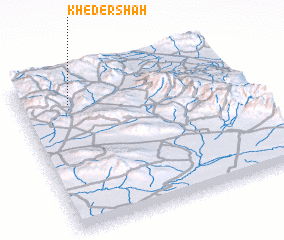 Places with similar names to Kheder Shāh, Iran ::
Disclaimer :: Information on this page comes without warranty of any kind |
||
|
Where is Kheder Shāh? Elevation and coordinates ::
Latitude (lat): 36°49'19"N Longitude (lon): 58°13'29"E
Elevation (approx.): 1723m (map arrows pan, magnifying glasses zoom) |
||
|
Visiting Kheder Shāh? Hotel/Accommodation ::
Book a hotel in Kheder Shāh Travel Guide ::
Buy a travel guide for Iran rental cars ::
car rental offers GPS waypoint ::
download a GPX waypoint (PoI) of Kheder Shāh for your GPS receiver
|
||