|
search place name
|
||
Kondeshkūh (Iran)Kondeshkūh is a town in Iran. An overview map of the region around Kondeshkūh is displayed below.
regional and 3d topo map of Kondeshkūh, Iran ::

Nearby towns ::
Dasht-e Shād (3.1km south) //
Kamardār (8.0km south) //
Khosrowābād (9.4km south west) //
‘Arab Kalū (8.9km south west) //
Besh Evlī (10.1km north west) //
Gūgol-e Bozorg (10.9km north west) //
Rameẕānābād (10.9km north west) //
[all distances 'as the bird flies' and approximate] 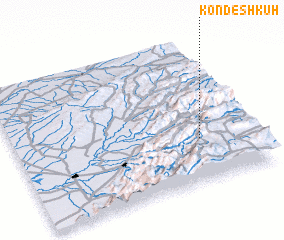 Places with similar names to Kondeshkūh, Iran ::
// Gando Tiaka (BJ)
// Kountchougou (BJ)
// Quinta Chica (EC)
// Gandu Chak (IN)
// Cañada Chica (MX)
// Cañada Chica (MX)
// Cañada Chica (MX)
// Cañada Chica (UY)
// Gandoi Chauki (PK)
// Kande Chauki (PK)
Disclaimer :: Information on this page comes without warranty of any kind |
||
|
Where is Kondeshkūh? Elevation and coordinates ::
Latitude (lat): 37°18'16"N Longitude (lon): 55°46'26"E
Elevation (approx.): 1062m (map arrows pan, magnifying glasses zoom) |
||
|
Visiting Kondeshkūh? Hotel/Accommodation ::
Book a hotel in Kondeshkūh Travel Guide ::
Buy a travel guide for Iran rental cars ::
car rental offers GPS waypoint ::
download a GPX waypoint (PoI) of Kondeshkūh for your GPS receiver
|
||