|
search place name
|
||
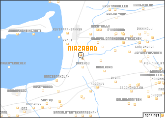
Nīāzābād (Golestān, Iran)Nīāzābād is a town in the Golestān region of Iran. An overview map of the region around Nīāzābād is displayed below.
regional and 3d topo map of Nīāzābād, Iran ::
Nearby towns ::
Namāzābād (0.1km east) //
Qareh Sū (1.9km south) //
Zābolī Maḩalleh-ye Pā'īn (3.4km east) //
Yamūt (4.3km north west) //
Sū Javāl (4.7km north east) //
Sījovāl (4.6km north east) //
Badīlābād (4.9km south east) //
Ḩājjī Naz̧ar (5.8km north) //
Kū-ye Faraḩ Bakhsh (6.4km north west) //
Āshūrā Deh (6.4km north west) //
Kord Kūy (7.0km south east) //
Bandar-e Torkaman (7.2km north east) //
Marz-e Sarkolāh (6.7km south west) //
Lāghūz (7.6km south) //
Ūrkat Ḩājjī (7.3km north east) //
Zābolī Maḩalleh-ye Bālā (6.3km east) //
Zābolī Maḩalleh-ye Kohneh (6.3km east) //
Sālī Kandeh (8.6km south) //
Bāghū Kenāreh (8.6km south west) //
Alang (8.0km south east) //
Īlvār-e Yek Dāngeh (8.2km north east) //
Eyvānābād (8.4km north east) //
[all distances 'as the bird flies' and approximate] 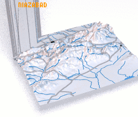 Places with similar names to Nīāzābād, Iran ::
Disclaimer :: Information on this page comes without warranty of any kind |
||
|
Where is Nīāzābād? Elevation and coordinates ::
Latitude (lat): 36°51'0"N Longitude (lon): 54°4'57"E
Elevation (approx.): -26m (map arrows pan, magnifying glasses zoom) |
||
|
Visiting Nīāzābād? Hotel/Accommodation ::
Book a hotel in Nīāzābād Travel Guide ::
Buy a travel guide for Iran rental cars ::
car rental offers GPS waypoint ::
download a GPX waypoint (PoI) of Nīāzābād for your GPS receiver
|
||