|
search place name
|
||
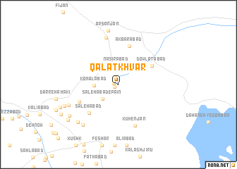
Qalātkhvār (Fārs, Iran)Qalātkhvār is a town in the Fārs region of Iran. An overview map of the region around Qalātkhvār is displayed below.
regional and 3d topo map of Qalātkhvār, Iran ::
Qalātkhvār airports ::
The nearest airport is SYZ - Shiraz Shahid Dastghaib Intl, located 78.2 km south west of Qalātkhvār.
Nearby towns ::
Qeshlāq (0.7km south west) //
Ḩoseynābād (0.7km west) //
Rafī‘ābād (1.2km north west) //
‘Alīābād (2.7km north) //
Naşīrābād (2.9km north) //
Dehak (3.3km north) //
Şāleḩābād-e Pāʼīn (3.1km south west) //
Kamālābād (3.3km west) //
Dowlatābād (5.4km north east) //
Akbarābād (6.2km north) //
Şāleḩābād (6.0km south west) //
Jamālābād (6.0km south west) //
Kūhenjān (6.9km south) //
Eqlīdābād (7.7km north) //
Zīādābād (7.6km south west) //
Şafarābād (8.1km south west) //
Arsanjān (8.7km north) //
Qaşr-e Jamāl (8.2km south west) //
Mehrīān (8.1km south west) //
Nūrābād (8.4km south west) //
Khobrīz (8.9km south west) //
[all distances 'as the bird flies' and approximate] 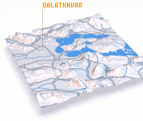 Places with similar names to Qalātkhvār, Iran ::
// Kaldakhvara (GE)
Disclaimer :: Information on this page comes without warranty of any kind |
||
|
Where is Qalātkhvār? Elevation and coordinates ::
Latitude (lat): 29°50'13"N Longitude (lon): 53°19'20"E
Elevation (approx.): 1608m (map arrows pan, magnifying glasses zoom) |
||
|
Visiting Qalātkhvār? Hotel/Accommodation ::
Book a hotel in Qalātkhvār Travel Guide ::
Buy a travel guide for Iran rental cars ::
car rental offers GPS waypoint ::
download a GPX waypoint (PoI) of Qalātkhvār for your GPS receiver
|
||