|
search place name
|
||
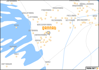
Qannād (Kermān, Iran)Qannād is a town in the Kermān region of Iran. An overview map of the region around Qannād is displayed below.
regional and 3d topo map of Qannād, Iran ::
Qannād airports ::
The nearest airport is KER - Kerman, located 217.9 km north west of Qannād.
Nearby towns ::
Afẕalābād (0.9km south east) //
Moḩammadābād (1.5km south west) //
Tarūnj (1.7km south) //
Kahn-e Maḩalleh-ye Pā'īn (1.6km north west) //
Kahn-e Maḩalleh-ye Bālā (1.7km west) //
Rūd Moshg (2.1km south) //
Nārān (2.5km south) //
Zūrān (2.6km south west) //
Tūrenj (3.0km south west) //
Sar Nesāʼ (3.0km south west) //
Ebrāhīmābād (3.0km west) //
Moshk (3.3km north east) //
Sarvand (3.3km south west) //
Borz-e Rafī‘ābād (3.5km north west) //
Malekābād (3.5km north east) //
Zūrān (3.9km south west) //
Bāgh-e Bālā (4.2km south west) //
Korūk (4.9km south west) //
Nez̧āmābād (5.3km north east) //
Tājābād (5.4km south west) //
Qoţbābād (5.5km west) //
Jalālābād (5.9km north east) //
Bāqerābād (6.5km north) //
Ḩojjatābād (6.5km north west) //
Ḩorjond (6.4km north west) //
Mo'menābād (6.9km north) //
Hūshangīyeh (6.9km north) //
‘Adīm ol Maşşl (7.2km north west) //
Qāderābād (7.2km north west) //
[all distances 'as the bird flies' and approximate] 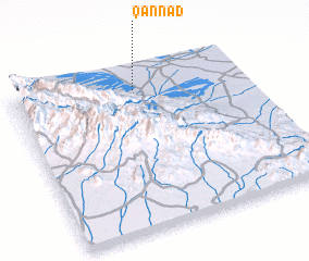 Places with similar names to Qannād, Iran ::
Disclaimer :: Information on this page comes without warranty of any kind |
||
|
Where is Qannād? Elevation and coordinates ::
Latitude (lat): 28°52'27"N Longitude (lon): 58°31'46"E
Elevation (approx.): 858m (map arrows pan, magnifying glasses zoom) |
||
|
Visiting Qannād? Hotel/Accommodation ::
Book a hotel in Qannād Travel Guide ::
Buy a travel guide for Iran rental cars ::
car rental offers GPS waypoint ::
download a GPX waypoint (PoI) of Qannād for your GPS receiver
|
||