|
search place name
|
||
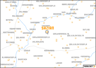
Sāzīān (Hamadān, Iran)Sāzīān is a town in the Hamadān region of Iran. An overview map of the region around Sāzīān is displayed below.
regional and 3d topo map of Sāzīān, Iran ::
Sāzīān airports ::
The nearest airport is KSH - Bakhtaran Shahid Ashrafi Esfahani, located 94.9 km west of Sāzīān.
Other airports nearby include SDG - Sanandaj (128.4 km north west), Nearby towns ::
Taqīābād (2.3km north) //
Ganjvarān-e Soflá (3.1km south west) //
Gheyb Qolī-ye Pāʼīn (3.5km south east) //
Ganjvarān-e Vosţá (3.8km south east) //
Mīnābād (4.6km north) //
Ganjvarān-e ‘Olyā (4.3km east) //
Velāshjerd (5.0km south west) //
Hūsh (5.7km north) //
Gheyb Qolī-ye Bālā (5.0km east) //
Sagavī (5.0km west) //
Shānābād (5.5km north west) //
Termīānak (6.7km north) //
Tappeh Kabūd (6.0km west) //
Morādābād (7.5km south) //
Bahārāb (7.6km north east) //
Qal‘eh Amīr Khān (7.6km north east) //
Sahm od Dīn (6.6km west) //
Ţardābād (8.4km south) //
Mobārakābād (7.5km south east) //
Deh Bālā (7.3km west) //
Cheshmeh Qandāb (8.3km north west) //
‘Alīābād (8.6km south east) //
Sūrī (9.1km north east) //
Bāqerābād (9.6km south east) //
Gonbaleh (9.3km north east) //
Gowdīn (10.0km south west) //
[all distances 'as the bird flies' and approximate] 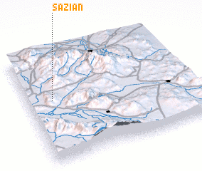 Places with similar names to Sāzīān, Iran ::
Disclaimer :: Information on this page comes without warranty of any kind |
||
|
Where is Sāzīān? Elevation and coordinates ::
Latitude (lat): 34°34'28"N Longitude (lon): 48°9'14"E
Elevation (approx.): 1751m (map arrows pan, magnifying glasses zoom) |
||
|
Visiting Sāzīān? Hotel/Accommodation ::
Book a hotel in Sāzīān Travel Guide ::
Buy a travel guide for Iran rental cars ::
car rental offers GPS waypoint ::
download a GPX waypoint (PoI) of Sāzīān for your GPS receiver
|
||