|
search place name
|
||
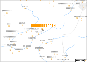
Shahrestāneh (Hamadān, Iran)Shahrestāneh is a town in the Hamadān region of Iran. An overview map of the region around Shahrestāneh is displayed below.
regional and 3d topo map of Shahrestāneh, Iran ::
Shahrestāneh airports ::
The nearest airport is KSH - Bakhtaran Shahid Ashrafi Esfahani, located 117.2 km west of Shahrestāneh.
Other airports nearby include SDG - Sanandaj (137.3 km north west), Nearby towns ::
Tīmī Jān (2.1km south west) //
Būjān (5.0km south) //
Vardāvard-e ‘Olyā (4.2km west) //
Qal‘eh-ye Āstījān (4.5km south west) //
Arezūvaj (5.4km south) //
Kāshānī (5.3km south east) //
Sīstāneh (5.6km south west) //
Sanjūzān (6.0km south east) //
Vardāvard-e Vosţá (5.3km west) //
Vardāvard-e Soflá (6.0km west) //
Bābā Pīr ‘Alī (8.3km south) //
Oshtorān (9.4km south west) //
[all distances 'as the bird flies' and approximate] 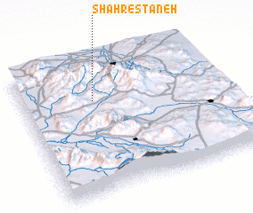 Places with similar names to Shahrestāneh, Iran ::
// Chūristāna (IQ)
// Chiroiu Satu Nou (RO)
// Shāristayn (IQ)
// Sharisten (IQ)
// Cherāghestān (IR)
// Cherrystone (US)
// Shahrestān (IR)
// Shahrestān (IR)
// Shahrestān (IR)
// Shahrestān (IR)
Disclaimer :: Information on this page comes without warranty of any kind |
||
|
Where is Shahrestāneh? Elevation and coordinates ::
Latitude (lat): 34°42'9"N Longitude (lon): 48°21'37"E
Elevation (approx.): 2094m (map arrows pan, magnifying glasses zoom) |
||
|
Visiting Shahrestāneh? Hotel/Accommodation ::
Book a hotel in Shahrestāneh Travel Guide ::
Buy a travel guide for Iran rental cars ::
car rental offers GPS waypoint ::
download a GPX waypoint (PoI) of Shahrestāneh for your GPS receiver
|
||