|
search place name
|
||
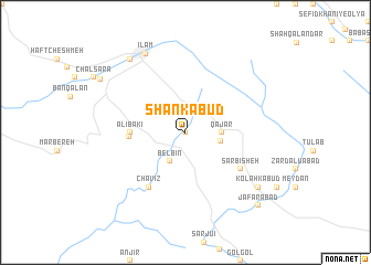
Shān Kabūd (Īlām, Iran)Shān Kabūd is a town in the Īlām region of Iran. An overview map of the region around Shān Kabūd is displayed below.
regional and 3d topo map of Shān Kabūd, Iran ::
Shān Kabūd airports ::
The nearest airport is KSH - Bakhtaran Shahid Ashrafi Esfahani, located 107.5 km north east of Shān Kabūd.
Other airports nearby include SDG - Sanandaj (192.8 km north), Nearby towns ::
Cheshmeh Dāvī (0.0km north) //
Belbīn (3.2km south west) //
Qajar (3.1km east) //
Changīyeh (3.1km east) //
‘Alībakī (4.6km west) //
Cheshmeh Kabūd (4.7km west) //
Chāvīz (6.4km south west) //
Sar Bīsheh (5.9km south east) //
Īlām (8.6km north west) //
Shādābād (8.7km north west) //
Nowrūzābād (8.7km north west) //
Kolah Kabūd (8.3km south east) //
Panj Sotūn (9.0km north west) //
Ja‘farābād (9.7km south east) //
[all distances 'as the bird flies' and approximate] 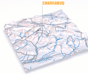 Places with similar names to Shān Kabūd, Iran ::
// Changābād (IR)
// Chong Bát (VN)
// Shangbutou (CN)
// Shangbutou (CN)
// Shangbutou (CN)
// Shuangbaidu (CN)
// Shuangbutou (CN)
Disclaimer :: Information on this page comes without warranty of any kind |
||
|
Where is Shān Kabūd? Elevation and coordinates ::
Latitude (lat): 33°34'0"N Longitude (lon): 46°28'0"E
Elevation (approx.): 1407m (map arrows pan, magnifying glasses zoom) |
||
|
Visiting Shān Kabūd? Hotel/Accommodation ::
Book a hotel in Shān Kabūd Travel Guide ::
Buy a travel guide for Iran rental cars ::
car rental offers GPS waypoint ::
download a GPX waypoint (PoI) of Shān Kabūd for your GPS receiver
|
||