|
search place name
|
||
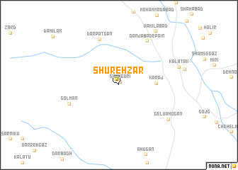
Shūrehzār (Kermān, Iran)Shūrehzār is a town in the Kermān region of Iran. An overview map of the region around Shūrehzār is displayed below.
regional and 3d topo map of Shūrehzār, Iran ::
Shūrehzār airports ::
The nearest airport is BND - Bandar Abbass Intl, located 161.4 km west of Shūrehzār.
Other airports nearby include KHS - Khasab (241.6 km south west), Nearby towns ::
Shūmedrī (0.5km north east) //
Karaj (5.3km east) //
Dar Patgān (7.7km north) //
Ganjābād-e Pā'īn (7.9km north east) //
Gol Man (7.5km south west) //
Gelū Āhūgān (8.8km south east) //
Vakīlābād (9.9km north east) //
[all distances 'as the bird flies' and approximate] 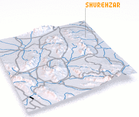 Places with similar names to Shūrehzār, Iran ::
// Charozero (RU)
// Cherāgh Ḩeşārī (IR)
// Chārsar (IN)
// Shahrāsar (IR)
// Shahr-e Sarāy (IR)
// Shahr-e Zūr (IR)
// Cherisar (PK)
// Charcier (FR)
// Charézier (FR)
// Shara-Sur (RU)
Disclaimer :: Information on this page comes without warranty of any kind |
||
|
Where is Shūrehzār? Elevation and coordinates ::
Latitude (lat): 27°46'36"N Longitude (lon): 57°53'12"E
Elevation (approx.): 490m (map arrows pan, magnifying glasses zoom) |
||
|
Visiting Shūrehzār? Hotel/Accommodation ::
Book a hotel in Shūrehzār Travel Guide ::
Buy a travel guide for Iran rental cars ::
car rental offers GPS waypoint ::
download a GPX waypoint (PoI) of Shūrehzār for your GPS receiver
|
||