|
search place name
|
||
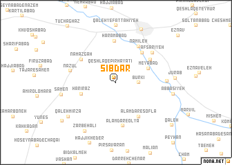
Sībdar (Hamadān, Iran)Sībdar is a town in the Hamadān region of Iran. An overview map of the region around Sībdar is displayed below.
regional and 3d topo map of Sībdar, Iran ::
Sībdar airports ::
The nearest airport is KSH - Bakhtaran Shahid Ashrafi Esfahani, located 150.3 km west of Sībdar.
Other airports nearby include SDG - Sanandaj (198.6 km north west), Nearby towns ::
Qeshlāq-e Pīr Ḩayātī (2.8km north) //
Būrkī (3.1km east) //
Meyābād (4.9km north east) //
Harī Raz (5.0km west) //
Dārcham (5.9km north east) //
Reẕvānkadeh (5.9km north east) //
Namāz Gāh (5.9km north west) //
‘Alamdār-e Soflá (6.3km south east) //
Ḩaramābād (6.7km north) //
Nāmīleh (6.6km north east) //
‘Alamdār-e ‘Olyā (7.1km south) //
Nāzūl (6.4km west) //
Afsarīyeh (6.9km north east) //
Dāvījān (6.8km east) //
Sāmen (7.5km west) //
Ẕarbeh‘alī (8.9km south west) //
Qal‘eh Mīrzā (8.4km south west) //
Malāyer (9.3km north) //
Maḩmūdābād (9.6km south west) //
[all distances 'as the bird flies' and approximate] 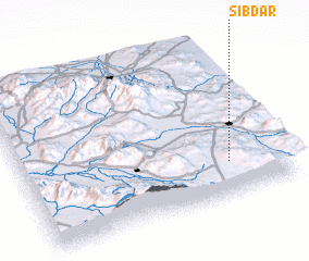 Places with similar names to Sībdar, Iran ::
// Čebatoriai (LT)
// Čebatoriai (LT)
// Cebadero (CO)
// Cibatarua (ID)
// Sabitair (ID)
// Subadero (MX)
// Soba Dāhri (PK)
// Sobdar (PK)
// Sobdār (PK)
// Sabatoru (NG)
Disclaimer :: Information on this page comes without warranty of any kind |
||
|
Where is Sībdar? Elevation and coordinates ::
Latitude (lat): 34°13'0"N Longitude (lon): 48°47'0"E
Elevation (approx.): 1855m (map arrows pan, magnifying glasses zoom) |
||
|
Visiting Sībdar? Hotel/Accommodation ::
Book a hotel in Sībdar Travel Guide ::
Buy a travel guide for Iran rental cars ::
car rental offers GPS waypoint ::
download a GPX waypoint (PoI) of Sībdar for your GPS receiver
|
||