|
search place name
|
||
Taqī Kandī (Ostān-e Āz̄arbāyjān-e Sharqī, Iran)Taqī Kandī is a town in the Ostān-e Āz̄arbāyjān-e Sharqī region of Iran. An overview map of the region around Taqī Kandī is displayed below.
regional and 3d topo map of Taqī Kandī, Iran ::

Taqī Kandī airports ::
The nearest airport is TBZ - Tabriz Intl, located 131.3 km south west of Taqī Kandī.
Nearby towns ::
Noqadī (0.0km north) //
Vīeq (4.0km north) //
Sheylāvān (4.4km north west) //
Hūrānd (4.1km west) //
Kalvarī (4.3km east) //
Charmeh Dāsh (4.7km north west) //
Kūjān (5.7km south) //
Īnjār (5.8km south) //
Leghlān (5.4km east) //
Ja‘farābād (7.4km north) //
Gonbadān (5.8km east) //
Qeshlāq-e Vīeq (6.1km east) //
Yūsefābād (7.8km north) //
Bozeylān (7.1km south west) //
Havāy (7.5km north east) //
Menjāb-e Qadīm (7.4km north west) //
Karkas (8.5km north) //
Nīq (7.9km south west) //
Qareh Darvīsh (7.7km north east) //
Gavlān (8.7km south east) //
Delqanāb (9.4km south east) //
Jabān (9.4km south west) //
[all distances 'as the bird flies' and approximate] 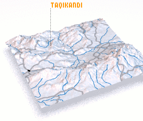 Places with similar names to Taqī Kandī, Iran ::
// Takiékounta (BJ)
// Taki Kunda (ZM)
// Takah Kandī (IR)
// Taqī Kandī (IR)
// Taqī Kandī (IR)
// Taqī Kandī (IR)
// Taqī Kandī (IR)
// Taʼ Ġokondu (MT)
Disclaimer :: Information on this page comes without warranty of any kind |
||
|
Where is Taqī Kandī? Elevation and coordinates ::
Latitude (lat): 38°52'0"N Longitude (lon): 47°25'0"E
Elevation (approx.): 852m (map arrows pan, magnifying glasses zoom) |
||
|
Visiting Taqī Kandī? Hotel/Accommodation ::
Book a hotel in Taqī Kandī Travel Guide ::
Buy a travel guide for Iran rental cars ::
car rental offers GPS waypoint ::
download a GPX waypoint (PoI) of Taqī Kandī for your GPS receiver
|
||