|
search place name
|
||
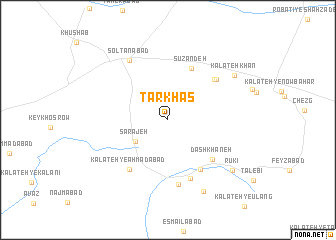
Tarkhāş (Khorāsān, Iran)Tarkhāş is a town in the Khorāsān region of Iran. An overview map of the region around Tarkhāş is displayed below.
regional and 3d topo map of Tarkhāş, Iran ::
Tarkhāş airports ::
The nearest airport is ASB - Ashkhabad Ashgabat, located 184.0 km north of Tarkhāş.
Nearby towns ::
Sarājeh (3.7km south west) //
Sūzandeh (6.1km north) //
Zarqī (6.2km south east) //
Dāshkhāneh (6.0km south east) //
Kalāteh-ye Chahār Bāgh (6.2km north east) //
Kalāteh-ye Aḩmadābād (6.5km south west) //
Seyyedābād (6.3km north east) //
Fowjī (6.9km south) //
Nūrābād (7.3km south) //
Solţānābād (7.5km north west) //
Kalāteh-ye Ḩasanābād (8.6km south) //
Kalāteh Khān (7.8km north east) //
Rūkī (8.1km south east) //
[all distances 'as the bird flies' and approximate] 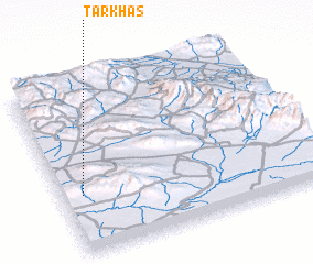 Places with similar names to Tarkhāş, Iran ::
// Dar Khīzū (IR)
// Darreh Khaşī (IR)
// Daroh Khās (IN)
// Deorī Khās (IN)
// Turi Khuz (PK)
// Trại Khe Sái (VN)
Disclaimer :: Information on this page comes without warranty of any kind |
||
|
Where is Tarkhāş? Elevation and coordinates ::
Latitude (lat): 36°20'38"N Longitude (lon): 58°4'45"E
Elevation (approx.): 1339m (map arrows pan, magnifying glasses zoom) |
||
|
Visiting Tarkhāş? Hotel/Accommodation ::
Book a hotel in Tarkhāş Travel Guide ::
Buy a travel guide for Iran rental cars ::
car rental offers GPS waypoint ::
download a GPX waypoint (PoI) of Tarkhāş for your GPS receiver
|
||