|
search place name
|
||
Ţāvīr (Golestān, Iran)Ţāvīr is a town in the Golestān region of Iran. An overview map of the region around Ţāvīr is displayed below.
regional and 3d topo map of Ţāvīr, Iran ::
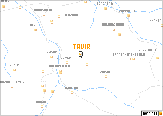
Nearby towns ::
Rīg Cheshmeh (1.4km north) //
Chelī-ye Bālā (1.8km south east) //
Chelī-ye Pā'īn (2.8km west) //
Malīār-e Bālā (4.9km south west) //
Nersū (5.3km south west) //
Vasī‘ Sar (5.5km west) //
Zarjū (6.2km south east) //
Emāmzādeh Jamshīd (7.3km south west) //
Alestān (8.2km south) //
Moḩammadābād (8.3km north west) //
Alāzman (8.9km north) //
Māhīān (7.7km south west) //
Boland Qāsem (8.8km north east) //
Gharībābād (9.4km south west) //
Chīnū (8.8km north east) //
Emāmzādeh ‘Abdollāh (9.8km north west) //
Raḩmatābād (10.1km north west) //
Ganū (10.2km south west) //
[all distances 'as the bird flies' and approximate] 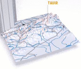 Places with similar names to Ţāvīr, Iran ::
Disclaimer :: Information on this page comes without warranty of any kind |
||
|
Where is Ţāvīr? Elevation and coordinates ::
Latitude (lat): 36°47'36"N Longitude (lon): 54°51'39"E
Elevation (approx.): 1478m (map arrows pan, magnifying glasses zoom) |
||
|
Visiting Ţāvīr? Hotel/Accommodation ::
Book a hotel in Ţāvīr Travel Guide ::
Buy a travel guide for Iran rental cars ::
car rental offers GPS waypoint ::
download a GPX waypoint (PoI) of Ţāvīr for your GPS receiver
|
||