|
search place name
|
||
Z̧ahr Shīr (Fārs, Iran)Z̧ahr Shīr is a town in the Fārs region of Iran. An overview map of the region around Z̧ahr Shīr is displayed below.
regional and 3d topo map of Z̧ahr Shīr, Iran ::

Z̧ahr Shīr airports ::
The nearest airport is SYZ - Shiraz Shahid Dastghaib Intl, located 162.4 km north west of Z̧ahr Shīr.
Nearby towns ::
Chahār Tang (2.4km north west) //
Kūshk-e va Mahkord (4.5km north) //
Kūshk-e Sa‘ādatābād (6.4km north) //
Mādavān (6.7km north west) //
Bābā ‘Arab (6.6km west) //
‘Alavīyeh (6.6km west) //
Mīr Mūsá (8.0km south west) //
Chāh Dowlat (7.7km east) //
Denīān (8.5km south west) //
[all distances 'as the bird flies' and approximate] 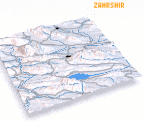 Places with similar names to Z̧ahr Shīr, Iran ::
// Cerchiara (IT)
// Cerchiara (IT)
// Sérètiouri (BJ)
// Sirröshirra (CO)
// Sar Shūr (IR)
// Sar Shūr (IR)
// Sar Shūreh (IR)
// Surshahr (PK)
// Zāra Churrai (PK)
// Zar Shahr (PK)
Disclaimer :: Information on this page comes without warranty of any kind |
||
|
Where is Z̧ahr Shīr? Elevation and coordinates ::
Latitude (lat): 28°33'46"N Longitude (lon): 53°50'1"E
Elevation (approx.): 1126m (map arrows pan, magnifying glasses zoom) |
||
|
Visiting Z̧ahr Shīr? Hotel/Accommodation ::
Book a hotel in Z̧ahr Shīr Travel Guide ::
Buy a travel guide for Iran rental cars ::
car rental offers GPS waypoint ::
download a GPX waypoint (PoI) of Z̧ahr Shīr for your GPS receiver
|
||