|
search place name
|
||
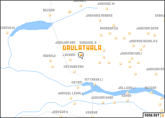
Daulatwāla (Punjab, Pakistan)Daulatwāla is a town in the Punjab region of Pakistan. An overview map of the region around Daulatwāla is displayed below.
regional and 3d topo map of Daulatwāla, Pakistan ::
Daulatwāla airports ::
The nearest airport is PZH - Zhob, located 98.6 km west of Daulatwāla.
Other airports nearby include MUX - Multan Intl (146.3 km south east), Nearby towns ::
Lakhāni (2.4km west) //
Shādiwāla (2.8km north east) //
Kot Mubārak (3.2km south west) //
Bhuch (3.4km east) //
Jhok Jarwār (4.1km north west) //
Jhok Rustamāni (4.2km east) //
Jhok Hāidarwāli (4.6km north east) //
Jhok Ganjewāli (5.2km east) //
Mitthewāli (6.2km south) //
Kotāni (6.5km south) //
Jhok Wajan (6.4km north east) //
Jhok Hājuwāli (6.1km west) //
Narānji (6.2km west) //
Ahmad Angu (7.9km north east) //
Jhok Mewewāli (7.5km east) //
Jhok Hamzewāli (8.0km north east) //
Jhok Dullewāli (9.1km south) //
Jhok Hāidar Bāre (9.4km north) //
Jhok Mitthewāli (9.8km north east) //
[all distances 'as the bird flies' and approximate] 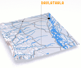 Places with similar names to Daulatwāla, Pakistan ::
// Daulatewāla (PK)
// Daulatwāla (PK)
// Daulatwāla (PK)
// Daulatwāla (PK)
// Daulatwāla (PK)
// Tall aţ Ţawīl (SY)
// Tall aţ Ţawīl (SY)
// Tall aţ Ţawīlah (SY)
// Tall Ţawīl (SY)
Disclaimer :: Information on this page comes without warranty of any kind |
||
|
Where is Daulatwāla? Elevation and coordinates ::
Latitude (lat): 31°15'6"N Longitude (lon): 70°29'31"E
Elevation (approx.): 210m (map arrows pan, magnifying glasses zoom) |
||
|
Visiting Daulatwāla? Hotel/Accommodation ::
Book a hotel in Daulatwāla Travel Guide ::
Buy a travel guide for Pakistan rental cars ::
car rental offers GPS waypoint ::
download a GPX waypoint (PoI) of Daulatwāla for your GPS receiver
|
||