|
search place name
|
||
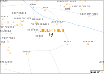
Daulatwāla (Punjab, Pakistan)Daulatwāla is a town in the Punjab region of Pakistan. An overview map of the region around Daulatwāla is displayed below.
regional and 3d topo map of Daulatwāla, Pakistan ::
Daulatwāla airports ::
The nearest airport is LYP - Faisalabad Intl, located 128.4 km south east of Daulatwāla.
Other airports nearby include MUX - Multan Intl (204.3 km south), ISB - Islamabad Chaklala (212.7 km north east), PEW - Peshawar Intl (223.0 km north), RAZ - Rawala Kot Rawalakot (272.9 km north east), Nearby towns ::
Rāhdāri (3.8km west) //
Jhabānwāla (4.9km north) //
Charāghwāli Warhi (5.2km north west) //
Biland (5.3km south east) //
Rangpur Baghur (5.3km west) //
Panāhwāla (7.1km north west) //
Khāngāh (7.3km north west) //
[all distances 'as the bird flies' and approximate] 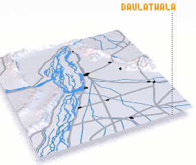 Places with similar names to Daulatwāla, Pakistan ::
// Daulatewāla (PK)
// Daulatwāla (PK)
// Daulatwāla (PK)
// Daulatwāla (PK)
// Daulatwāla (PK)
// Tall aţ Ţawīl (SY)
// Tall aţ Ţawīl (SY)
// Tall aţ Ţawīlah (SY)
// Tall Ţawīl (SY)
Disclaimer :: Information on this page comes without warranty of any kind |
||
|
Where is Daulatwāla? Elevation and coordinates ::
Latitude (lat): 32°0'20"N Longitude (lon): 71°52'0"E
Elevation (approx.): 187m (map arrows pan, magnifying glasses zoom) |
||
|
Visiting Daulatwāla? Hotel/Accommodation ::
Book a hotel in Daulatwāla Travel Guide ::
Buy a travel guide for Pakistan rental cars ::
car rental offers GPS waypoint ::
download a GPX waypoint (PoI) of Daulatwāla for your GPS receiver
|
||